INDUSTRIES
Civil Engineering & Infrastructure
Land surveying including tripod mounted, mobile and aerial LiDAR services for large-scale infrastructure projects, including highways, bridges, utilities, and urban planning.
Darling’s 3D scanning and UAV (drone) services save civil engineering projects substantial time and money. With an accurate 3D scanning model or aerial data showing the as-is conditions, we help you cut overall design and construction time, avoid costly RFI’s and construction delays and provide precise volumetric and topographic information.
3D scanning and UAV (drone) surveying are fast and safe ways to capture as-built information needed for road and bridge design, inspection, and monitoring. Darling can completely document congested roadways without interrupting traffic flow.
We create industry standard maps from the point clouds. The level of detail and accuracy far exceeds the capabilities of traditional survey methods, and the money saved from utilizing this information exceeds the cost of our services.
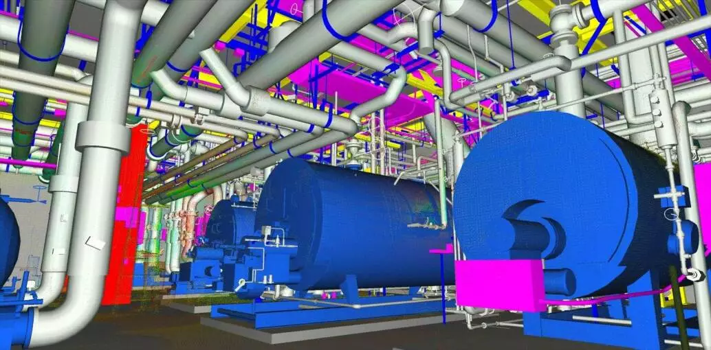
We specialize in pre-construction and construction as-built documentation in 3D, including LiDAR scanning, UAV (drone) surveying, post processing and building information modeling (BIM) for construction. This is the fastest, easiest and least expensive way to get an accurate “as-built” model.
Performing 3D scanning and/or UAV (drone) surveying and mapping of a roadway provides engineers with more information about the existing conditions. Our data mining capabilities allow us to extract the data from the point cloud. This reduces site visits and total project cost.
Civil engineers that utilize our 3D scanning services receive Leica TruViews of every scan, allowing them to virtually visit the site and take measurements from their desktop.

