Industries
Industries
Airports & Aviation
Darling Geomatics provides surveying and LiDAR services for airports, supporting runway design, safety, and infrastructure projects.
Explore →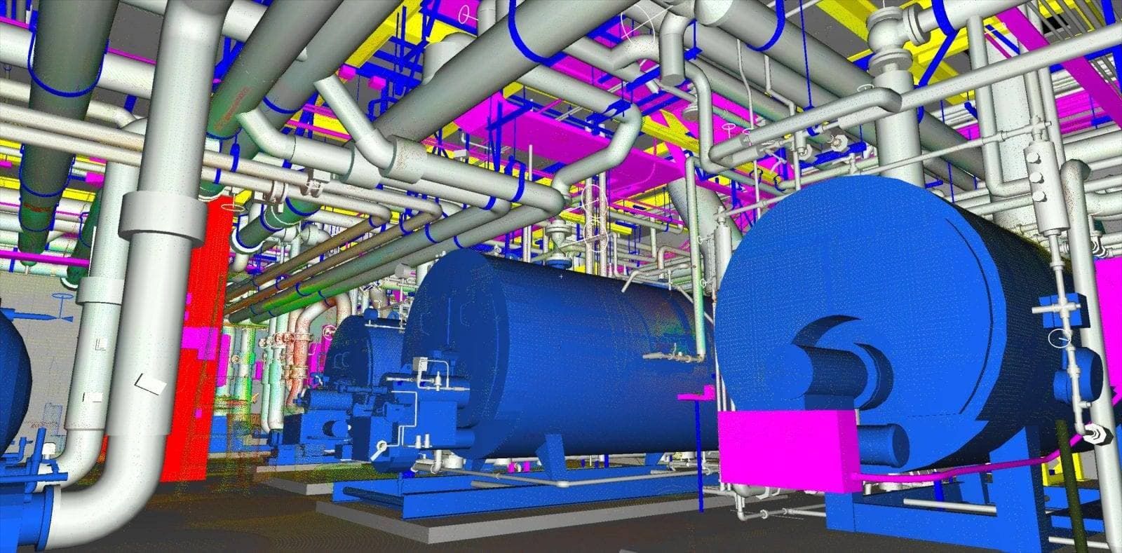
Civil Engineering
Survey-grade 3D laser scanning and drone services for civil engineering. Transportation design, bridge inspection, site development, and construction monitoring.
Explore →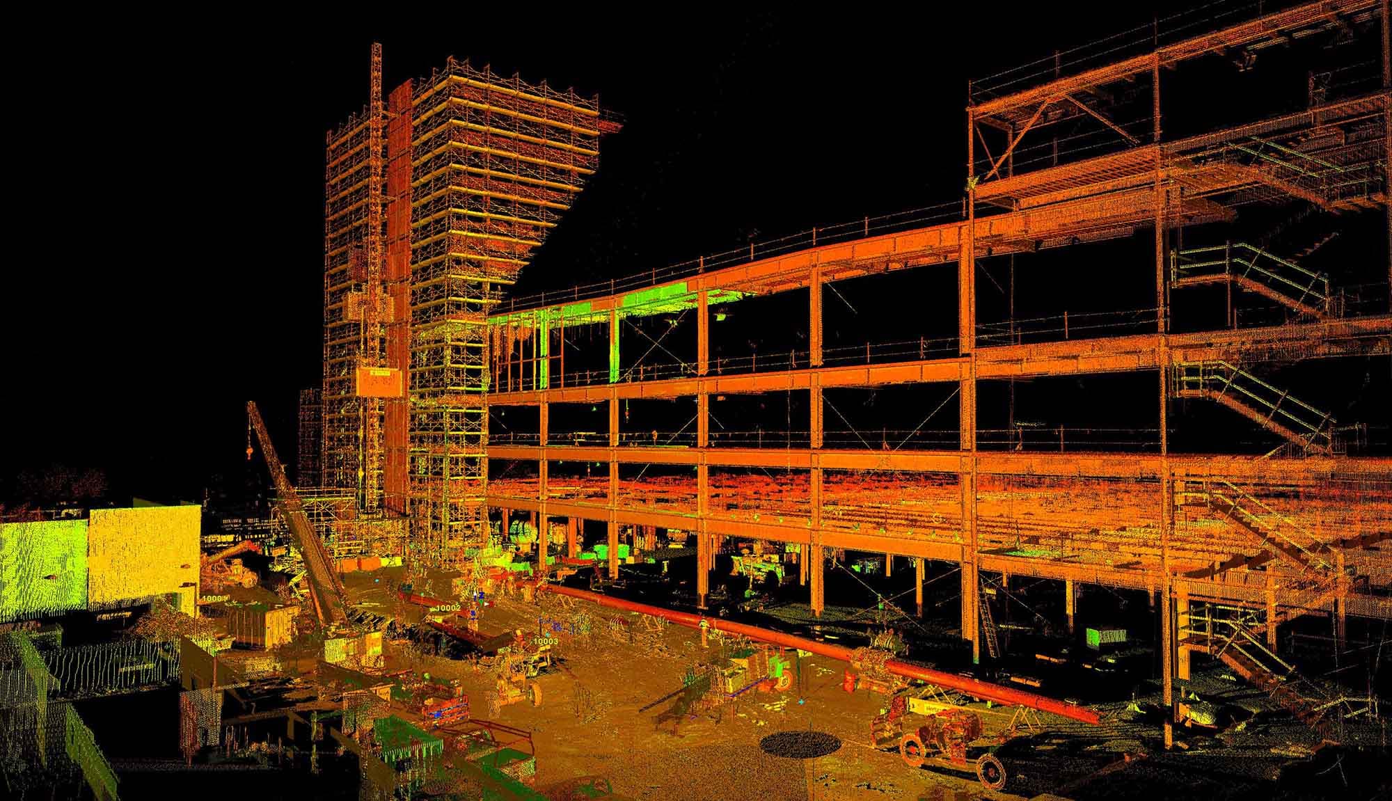
Construction
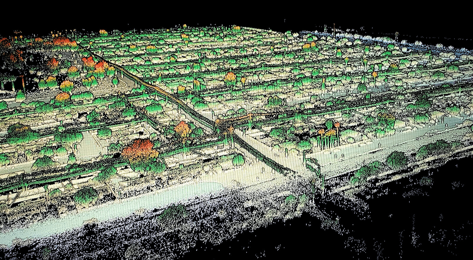
Darling Geomatics supports construction with LiDAR, drone surveying, and AI-driven solutions for land development and site planning.
Explore →
Golf & Sports
Darling Geomatics provides surveying and 3D mapping for golf courses and sports facilities to support design and maintenance.
Explore →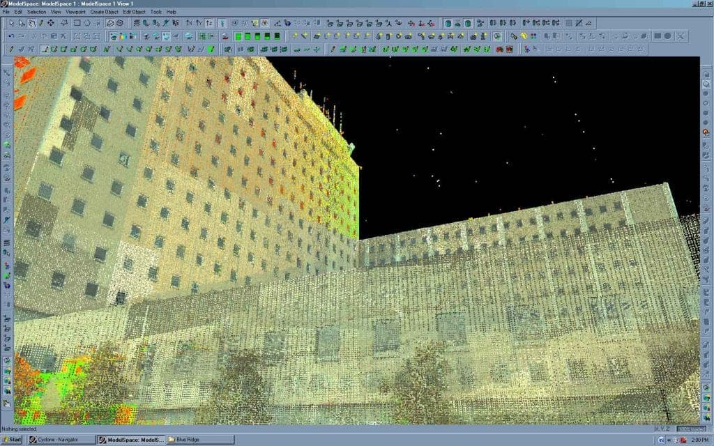
Healthcare
Healthcare facilities rely on Darling Geomatics for accurate surveys, 3D scanning, and digital twins for safe planning and expansion.
Explore →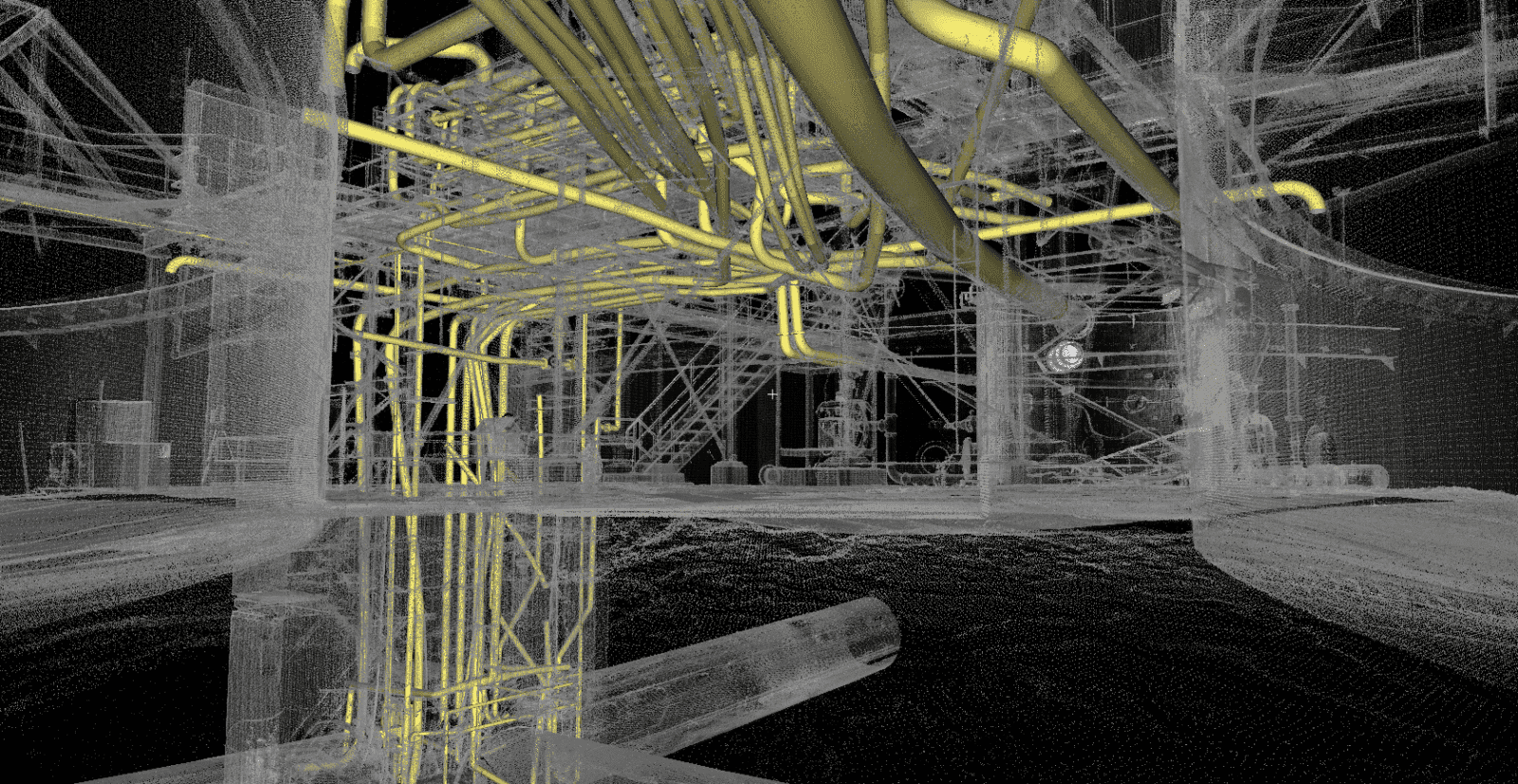
Industrial Facilities
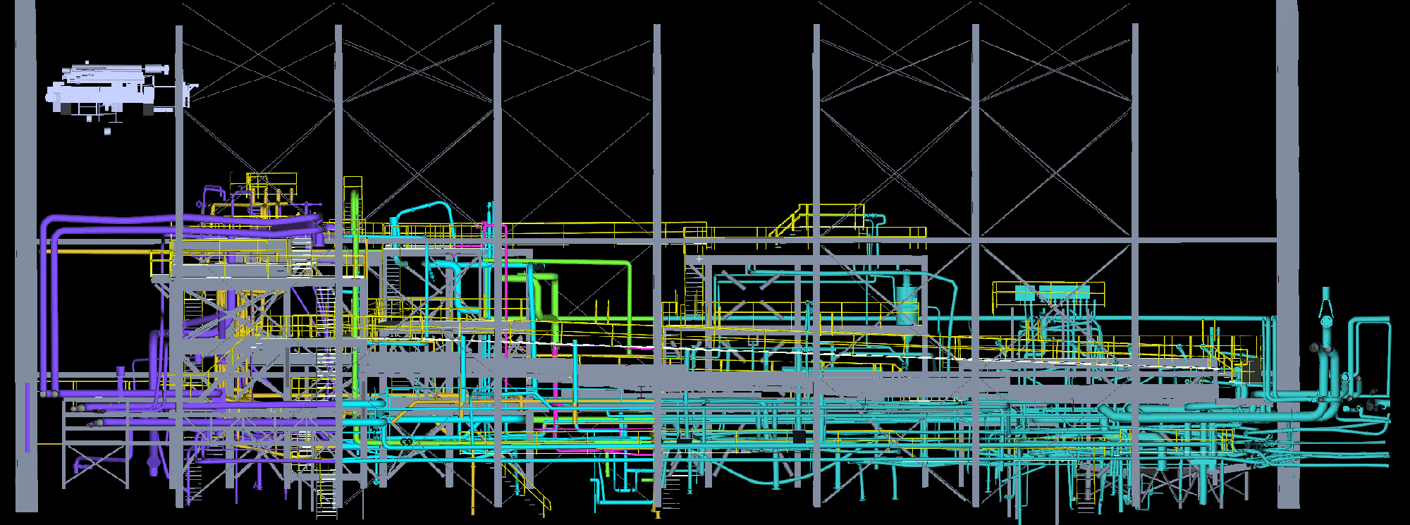
Millimeter-accurate laser scanning, sub-millimeter metrology and radiometric thermal imaging for plants, processing facilities and tank farms, captured without stopping production.
Explore →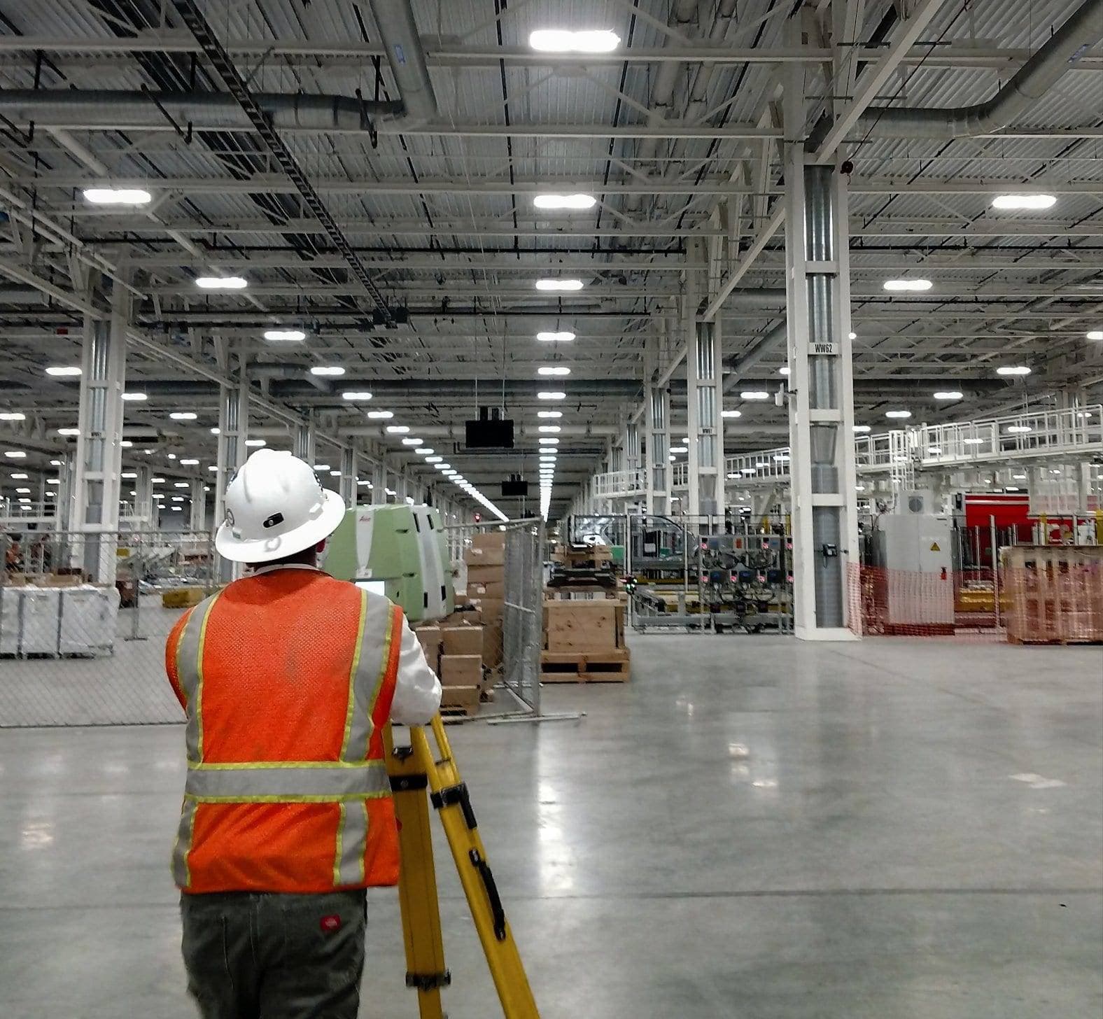
Manufacturing
Precision 3D laser scanning for manufacturing facilities. Plant expansion planning, clash detection, digital twins, and as-built documentation across the Southwest.
Explore →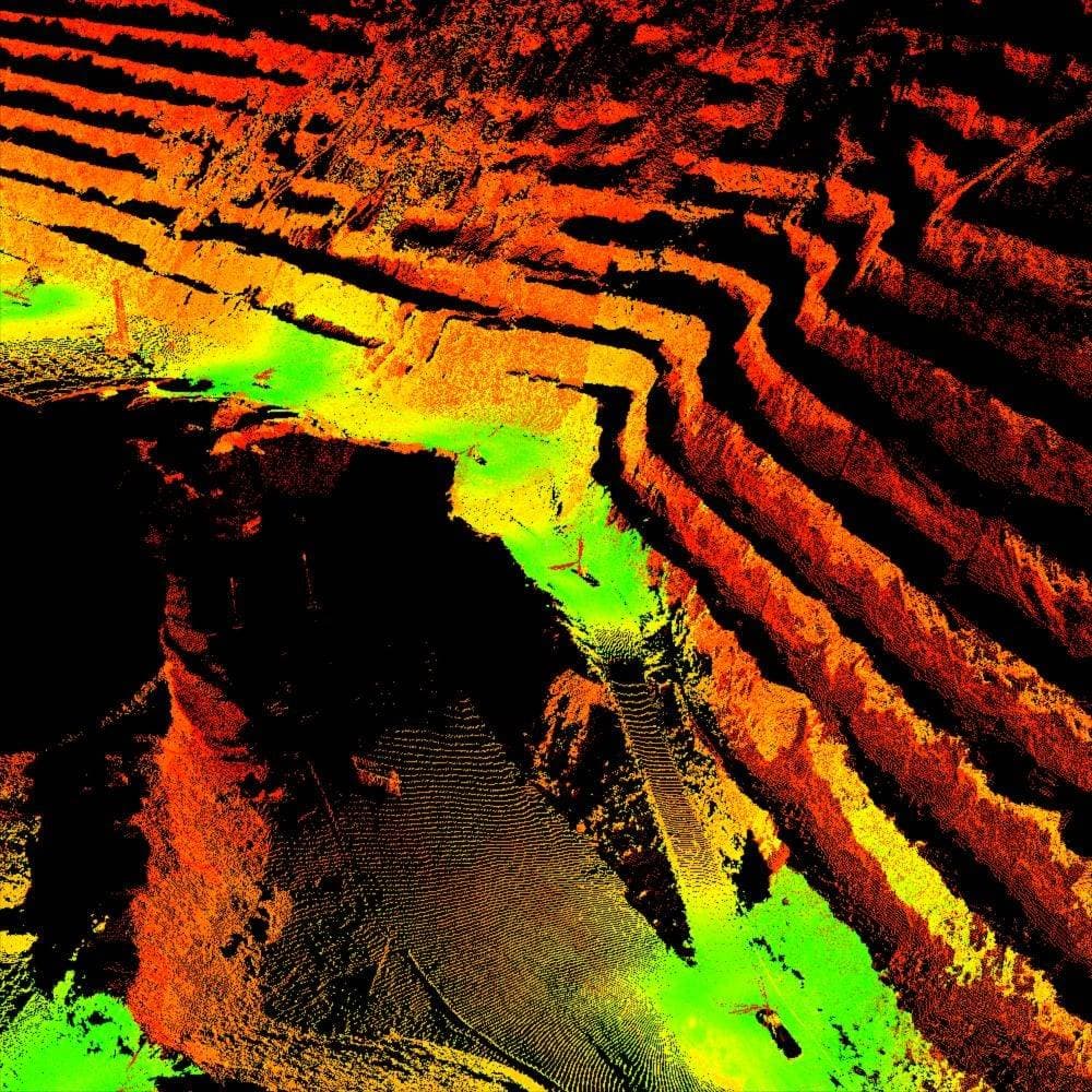
Mining & Natural Resources
Mining companies trust Darling Geomatics for accurate LiDAR surveys, drone mapping, and underground 3D scanning solutions.
Explore →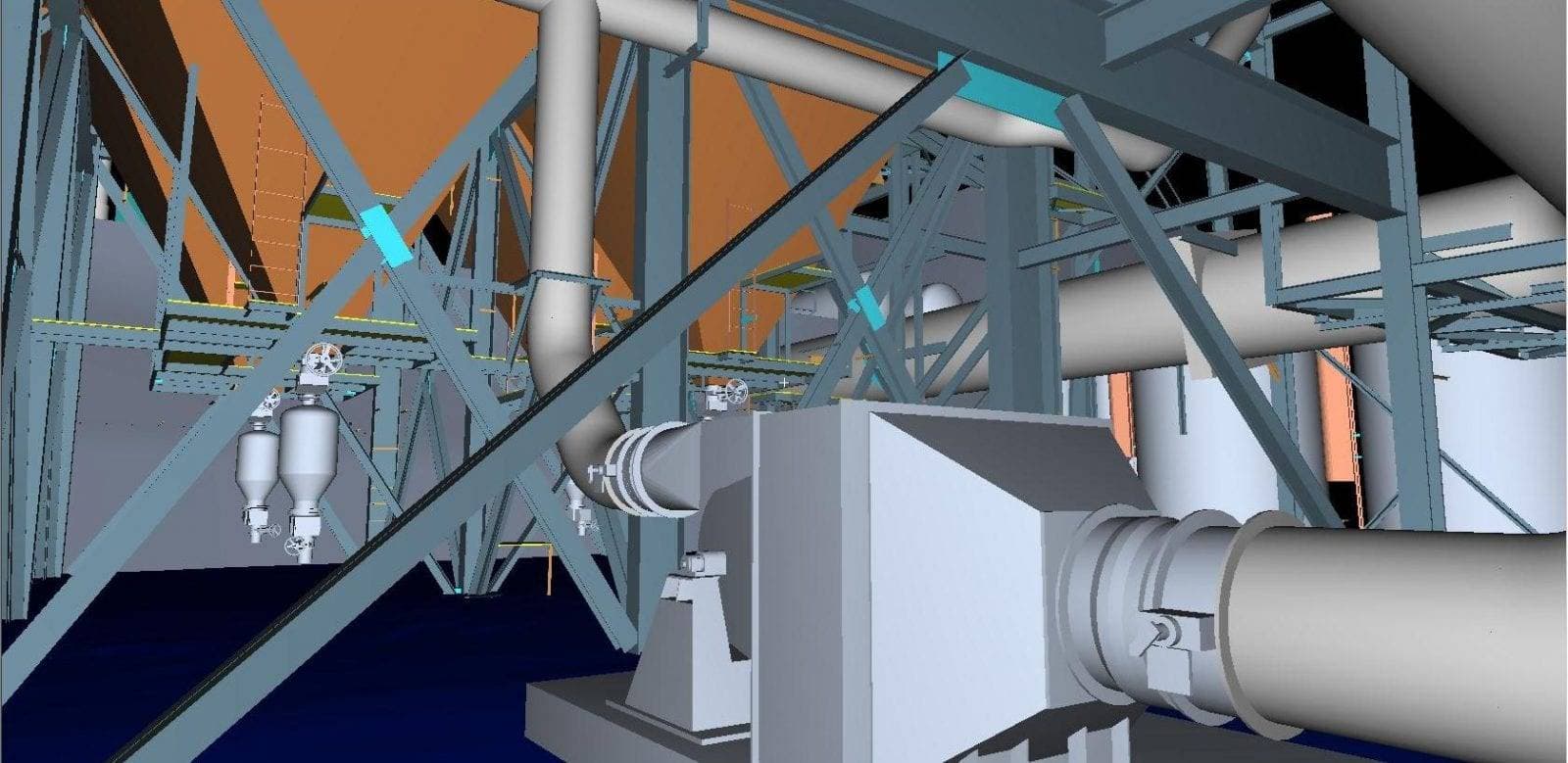
Power Generation
Darling Geomatics provides surveying and metrology services for the power industry, supporting plants, grids, and infrastructure.
Explore →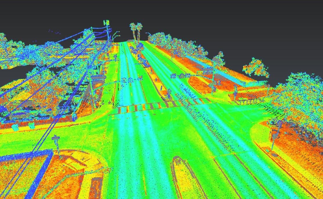
Utility Construction
Reduce rework, avoid conflicts, and keep your utility construction projects on schedule with precise subsurface utility mapping, high-accuracy LiDAR and drone surveying.
Explore →Plan your next capture.
Tell us about the site and the deliverables you need. Our team will recommend the right mix of drone, terrestrial and mobile capture.