APPLICATIONS:
Experts in 3D Tunnel Scanning
For LiDAR tunnel scanning and underground surveying, Darling Geomatics offers global expertise in 3D tunnel scanning, delivering engineering grade scans and creating as-builts of service tunnels, underground utility corridors, shafts, and other infrastructure. When the tunnels are not safe for humans, we send in drones to capture the LiDAR data.
Facility managers, operations managers, and engineers rely on us for:
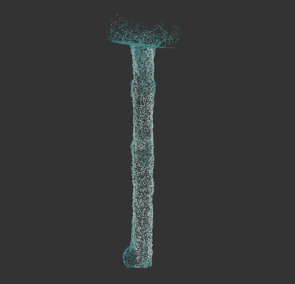
Explore the rich level of detail contained in the 3D point cloud model below of an underground shaft. Captured by drone pilots from the Darling Geomatics team, data like this can accurately determine the overall condition of underground workings, and also alert the client to the presence of equipment or vehicles contained within — safely, without endangering crew or equipment.
INSTRUCTIONS:
Use Adobe Acrobat for 3D viewing
- Download PDF, open with Adobe Acrobat.
- To enable playing of Multimedia & 3D Content in this PDF, select Options and then select one of the following:
- Trust this document one time only, or
- Trust this document always.
- Rotate the point cloud using your mouse.
Pro Tip: The home icon in the top navigation bar will reset the model for a fresh start!
3D tunnel scanning is the ultimate reality capture tool to provide a precise digital twin of underground assets. We are recognized worldwide for our accurate and repeatable measurements in underground operations. Our precise georeferenced engineering grade 3D scans, including true color imaging options, are used for mapping, planning, clash detection and change detection of underground structures in energy, transportation, mining, government, and industrial sectors.
Safe and Professional Underground Surveying
Our team of professional, registered surveyors has decades of experience worldwide. With more than 20,000 hours of LiDAR expertise since 2003, we specialize in planning the best approach, using the right technology, providing accurate 3D scans, and delivering the data in the format you require for your project. Our methods are non-invasive and don’t put your people at risk.
Accurate Measurements
We apply the newest technologies in laser tunnel scanning, software, and image processing to produce accurate, repeatable measurement data for 2D and/or 3D digital maps and models.
Deliverables in Any Format
Our experts can deliver data in any CAD, non-CAD, 2D and/or 3D format you require:

