APPLICATIONS:
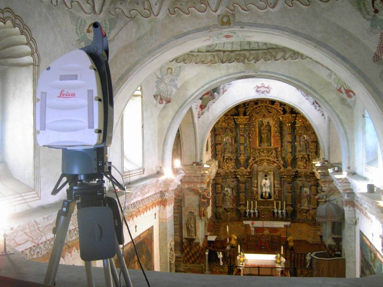
3D scanning and 3D modeling services provided by Darling Geomatics allow owners, architects, engineers, construction project managers, and other specialists to gain rapid access to large amounts of highly accurate, georeferenced data. The team can share the same digital data to measure, design, order materials, and renovate historical buildings.
Free 3D scan viewing and measuring software (Leica TruView) is available to non-CAD users on the project. For more advanced applications, Darling delivers 3D scanning models in AutoCAD, Navisworks, Revit and other professional design software formats.
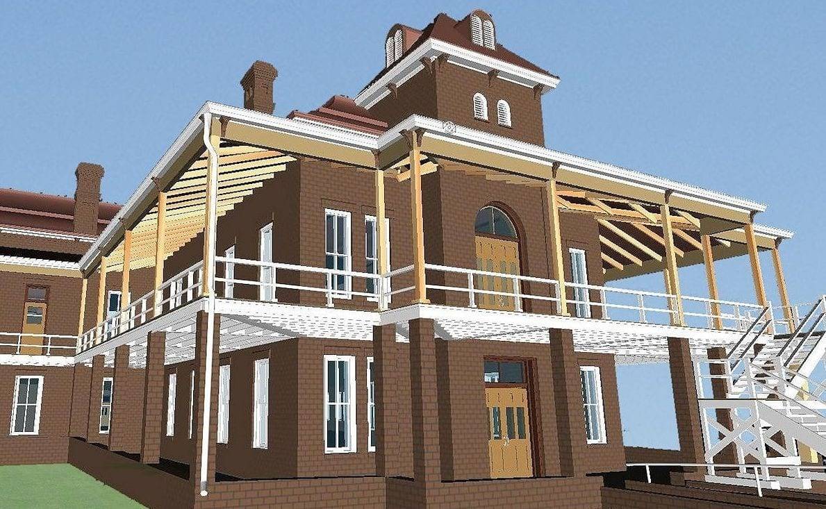
Deliverables in Nearly Any Format
Our company gives renovation architects and engineers the freedom to become their own virtual surveyor. Our service includes delivering the data to the engineer in virtually any software they choose, whether it be AutoCAD, Bentley, Point Cloud Data, 3D surface meshes, TruViews or any other mode; allowing them to measure anything from their desks and reduces the need for multiple surveys.