Thank you! You've been added to our list, and will receive our next email newsletter.
Recent Posts
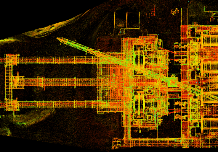
Creating Accurate Digital Twins with LiDAR Scanning: A Step-by-Step Guide
A digital twin is more than a 3D model. It’s a living, data-rich replica of a physical asset that supports real-time decision-making, predictive maintenance, and operational planning. The foundation of any useful digital twin is accurate geometry, and that’s where LiDAR scanning comes in. LiDAR (Light Detection and Ranging) captures millions of precise measurements in…
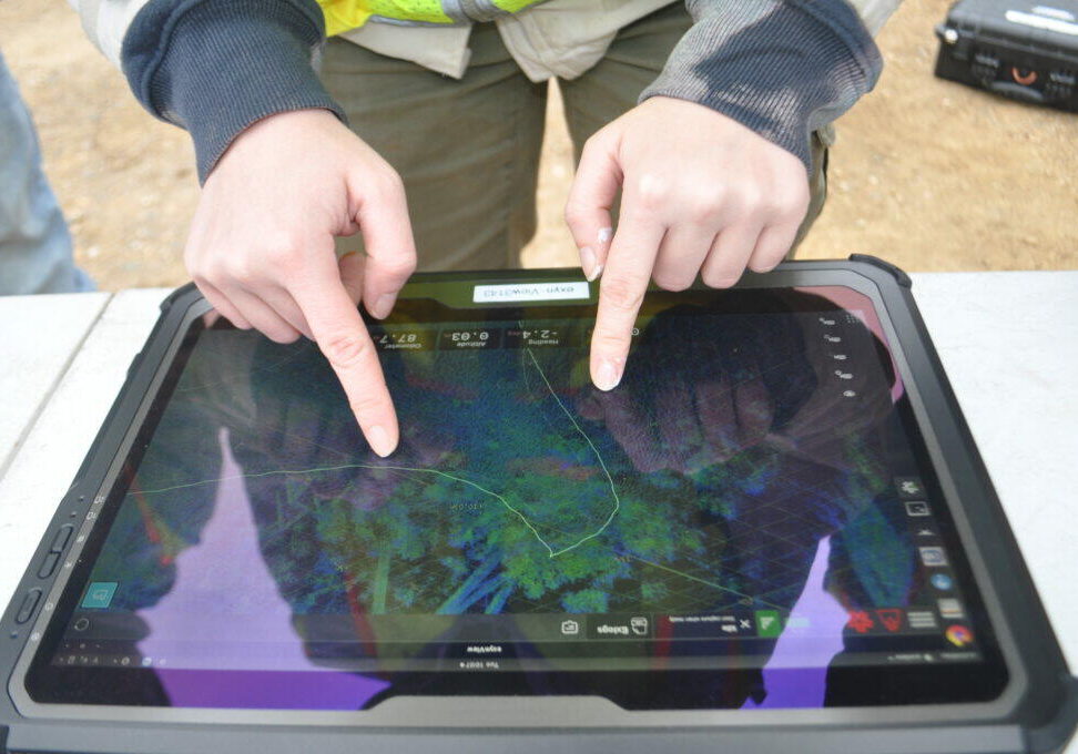
What are reality capture and digital twins anyway?
If you’ve been in manufacturing project management for more than a few months lately, you’ve probably heard someone mention reality capture or digital twins in a meeting. Maybe it was during a facility expansion discussion, or when someone was trying to solve a clash detection problem. These terms get thrown around a lot, but what…
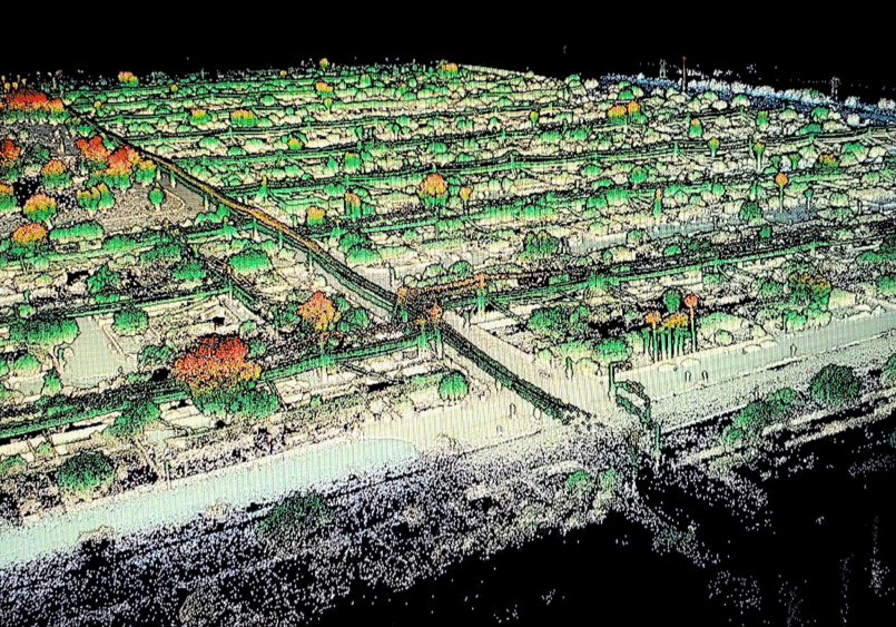
Top 7 Benefits of Using Drones for Land Surveys – Speed, Savings and Superior Data
The land surveying industry has changed dramatically over the past decade. What used to take weeks of manual fieldwork can now be accomplished in a matter of hours. Drone surveying has emerged as a game-changer for professionals who need accurate, comprehensive data without the traditional time and cost constraints. At Darling Geomatics, we’ve seen firsthand…


