Large Scale Aerial Topographic Mapping
Detailed topographic mapping is a fundamental component in the development of solar projects, providing valuable information for both site and civil engineers. It can help ensure the optimal placement of solar panels, identify potential challenges, and provide valuable information about the surrounding area. For large sites, UAV (drone) surveying helps topographic surveying projects stay on budget, without sacrificing accuracy or detail.

Topographic mapping is an essential early step in the development of solar farm projects. Using fixed-wing drones to produce large-scale, engineering-grade topographic maps, site and civil engineers can design the layout of the solar panels in consideration of the slope, elevation and other terrain features faster and more accurately. This information helps ensure the terrain is suitable for development, confirm optimal panel placement, review whether the drainage is manageable and more.
Detailed topographic mapping from UAVs (drones) provides valuable information about both the site and the surrounding area. A hydrologist can use the digital terrain data from the aerial topographic survey to simulate water flows and potential for flooding. This digital data can be used to design effective drainage systems, ensuring that the solar panels are not damaged by erosion or flooding from excess water.
Topographic mapping also helps identify potential challenges that may arise during the construction phase of the solar project. For example, the maps that are created can be used to quantify grading parameters, including cut and fill, design access routes, energy distribution corridors and more.
Project Facts
Project: UAV Topographic Data Collection
Client: Confidential
Project Location: 5,000-acre scale solar project in northern Arizona
Industry: Renewable Energy
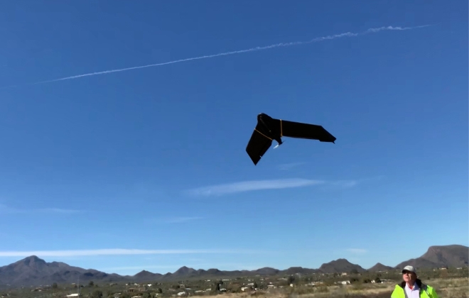
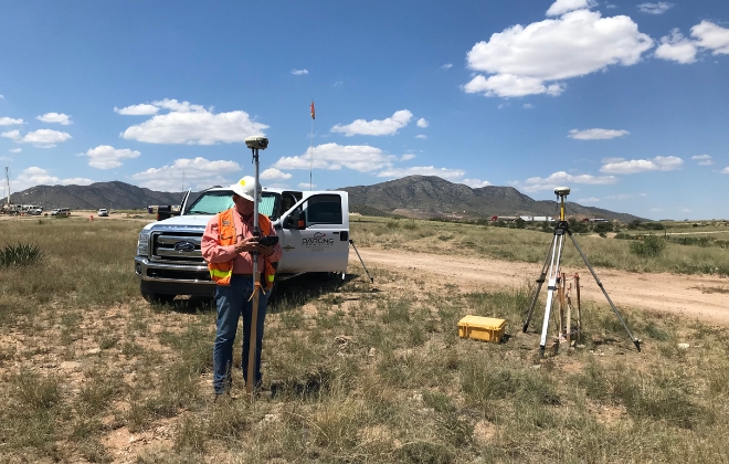
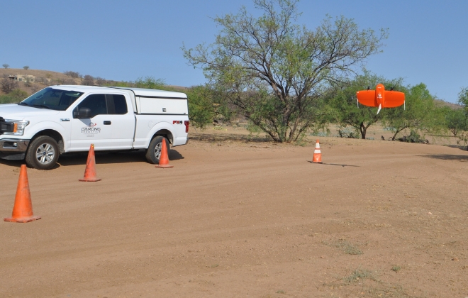
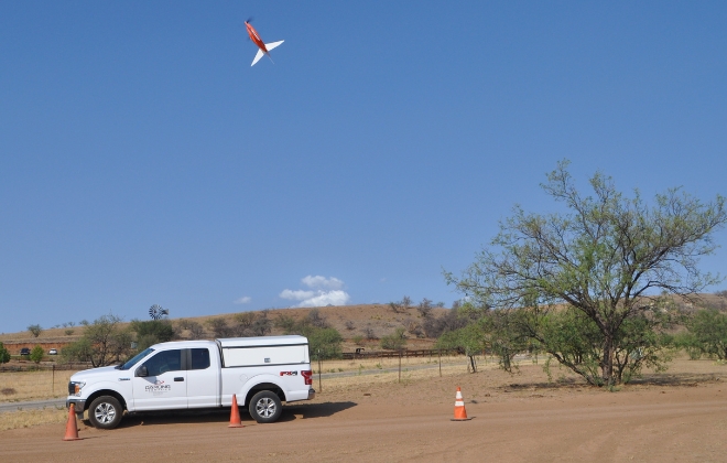
Technology Used: Trimble GPS for subcentimeter survey control on aerial targets; fixed-wing eBee and VTOL fixed-wing Wingtra UAVs, Pix4D, Global Mapper and AutoCAD Civil 3D software
Deliverable: True color orthomosaic image with 1-foot contours
Accuracy: +/- 2"/pixel
Key Challenges
Although conventional land surveying and aerial surveying from an airplane are commonly used in topographic mapping, several disadvantages prevented using these as viable solutions for this large-scale solar project.
Land surveying would have only provided a limited number of data points — which would not have delivered the necessary details for this site. Additionally, airplane-based aerial surveying would not have delivered the level of accuracy needed for a project of this scale.
Finally, the time and costs associated with conventional land surveying and airplane-based aerial surveying methods were estimated to be quite substantial and fell outside the project budget. The client needed a solution that was within scope and delivered an accurate and detailed map for their 5,000-acre site.
Solution and Outcome
To keep this project within scope of both time and costs, Darling Geomatics presented UAV (drone) surveying as the best option for this site.
Deploying a UAV (drone) survey would capture a much larger amount of data points than conventional land surveying and would deliver better accuracy (+/- 2”/pixel) than airplane-based aerial surveying. UAV (drone) surveys fly at lower altitudes and can capture more detailed images of a surveyed area than an airplane-based aerial survey.
UAV (drone) surveys can also be completed in a fraction of the time and cost, making it a more economical option for many surveying projects.
With the client’s approval, Darling teams successfully deployed UAVs (drones) to survey the 5,000 acres — and delivered precise topographic maps in half the time conventional surveying methods would have taken.
Darling’s solution using UAV (drone) surveying successfully delivered on time and within budget.
Additional Information
- Watch YouTube video on Drone Based Water Flow Analysis
- Discover more about 3D Topography or Land Surveying
- Read our 7 Facts About 3D Aerial Mapping with Drones blog post