Open-Pit Mine Owner Uses Hyperspectral and LiDAR Imaging from a Drone to Rapidly Reveal Mineralogical Data

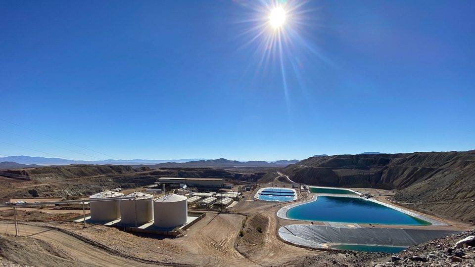
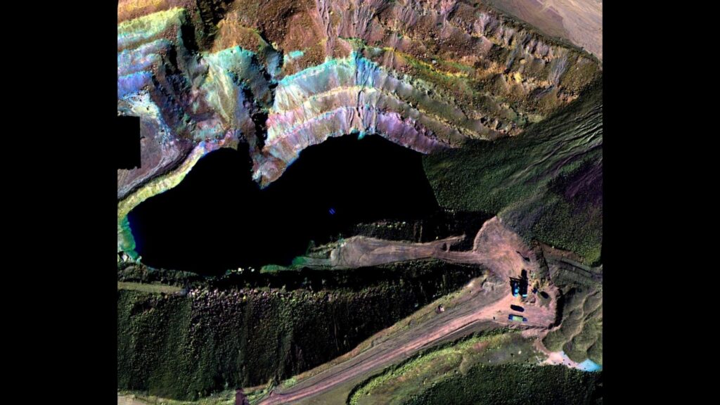
Excelsior Mining Corp worked with Darling Geomatics at an Arizona copper mine to experiment with hyperspectral and LiDAR imagery collection to map minerals. Hyperspectral imaging captures the reflectance properties of the minerals present on the mine face and when coupled with simultaneous LiDAR imaging, produces 3D modelling data to deliver a highly precise mineral map. With a proper catalogue of mineralogy, based on a well-tested spectral library, it is possible for the mine to determine the exact location and prevalence of existing minerals through this technology — reducing guesswork during exploration and streamlining extraction and processing operations.
Project Facts
Project: Mineral Sensing/Drone Mapping Demonstration
Client: Excelsior Mining Corp
Project Location: Arizona
Technology Used: Hyperspectral and LiDAR mounted on a heavy-lift drone
Deliverable: Hypercube data, a reflective based mineral map, and a spectral library were the primary deliverables, coupled with the digital elevation model (DEM) from the LiDAR data
Accuracy: 50m flight altitude: 1.3 cm pixel size, +/- 0.5m DEM, +/- 8.8 cm, 7 pixels
Partners: Norsk Elektro Optikk (NEO), Black Square S.A.S.
Key Challenges
Mining client needed:
- Rapid Results
- Safely Collected
- Accurate Data
“Hyperspectral imaging … combines the power of digital imaging and spectroscopy.” - NEO Norway
In early 2022, Darling Geomatics hosted a demonstration to the mining and engineering community showcasing the accuracy of hyperspectral aerial imaging to discover mineral recovery potential.
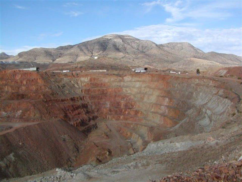
The demonstration was held in February 2022 at an Arizona copper mine. Darling was joined by Trond Loke, CEO of NEO from Norway with their HySpex sensors and Juan Manuel Gonzalez, CEO of Black Square S.A.S. from Bogotá, Columbia with their heavy-lift drones to demonstrate the hyperspectral aerial advantages in data collection and to deliver a detailed mineral sensing map of the mine face.
Mineral sensing and mapping are extremely valuable to mines when planning further extraction or processing operations. The large surface areas of open-pit mines present unique challenges to accurately, efficiently and safely collect this type of information due to lack of access. However, with drone based hyperspectral and LiDAR, precise and accurate results are gathered rapidly (with near real-time results) from a safe location.

Solution
Darling solved:
- expertise + technology = rapid results
- aerial + remote data collection = safety
- HSI + LiDAR data = accuracy
Darling coordinated with NEO and Black Square to produce an in-depth, accurate mineral map of the elements topographically present at the copper mine.
Darling’s expertise in aerial mapping, combined with the advanced technology of hyperspectral imaging provided accurate, measurable, and repeatable 3D spectral data for the large surface area — using Black Square’s industrial heavy-lift drones equipped with NEO’s advanced hyperspectral and LiDAR sensors. The resulting georeferenced spectral signatures were used to identify existing mineralogy and create mineral maps for Excelsior’s consideration for future potential mineral recovery at this location.
Outcome
- Scan site.
- Compile data.
- Interpret results.
- Deliver to client.
Darling and NEO used aerial hyperspectral and LiDAR sensors mounted to Black Square’s industrial heavy-lift drone to scan the open-pit mine and collect spectral data over the course of several hours.
Once the data was compiled and interpreted, they delivered a precise 3D mineral map of the mine face. The initial results were almost immediate – from the first scan to final delivery of the preliminary mineral map was approximately 24 hours. The resulting mineral map contained actionable data that streamlines future operational planning for mineral recovery, further extraction and processing at this site — while eliminating redundant material handling.

