Remote Scanning and Surveying Services
Darling Geomatics is one of the nation’s top UAV surveying companies and an award-winning leader in remote scanning. Our services include UAV (drone), mobile and ground-based surveying and mapping, digital twins and as-builts, volumetrics, topography, LiDAR scanning, 3D modeling and thermography.
We deliver repeatable and measurable geospatial data used by engineers, construction managers, designers, developers, urban planners, facilities managers in government and industry, emergency responders, insurance companies, and forensics experts. Always on the cutting edge of our field, we offer our clients innovative solutions that help cut costs, save time, and improve workflow.
Founded in 1997, we serve clients worldwide. Our expertise in remote scanning has made us a trusted partner in projects as varied as remote mine surveying, solar panel monitoring via thermal imaging, and the creation of digital twins for manufacturing and construction.
Drone Surveying and LiDAR
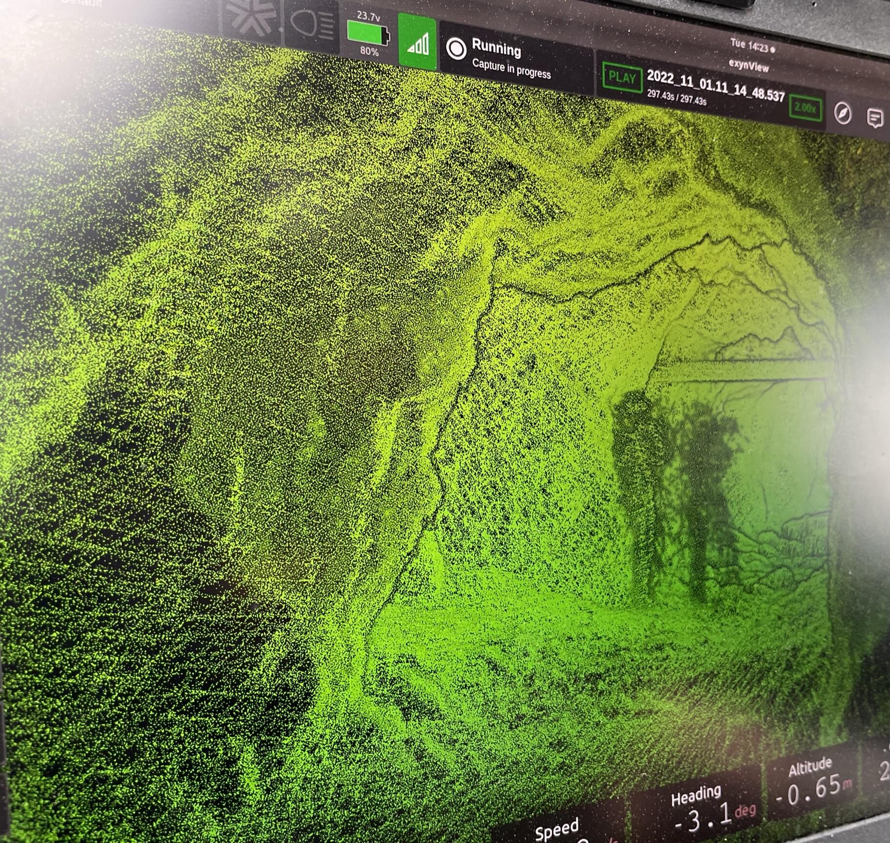
As a leading drone surveying company serving major infrastructure and engineering projects throughout the US, our drone survey services are used by engineers, designers, developers, planners, emergency responders, insurance companies, forensics experts, construction managers and facilities managers in government and industry. UAV surveying aids in design, analysis, planning and monitoring.
Thermal Imaging
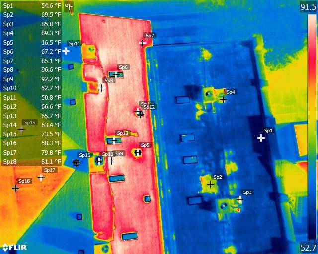
Our aerial thermal imaging is used by engineers, utility operators, facilities managers and production managers in government and industry to detect thermal anomalies that affect energy consumption and operational performance of built environments. Aerial thermal imaging is also used for search and rescue, surveillance, water temperature monitoring and more.
Land Surveying
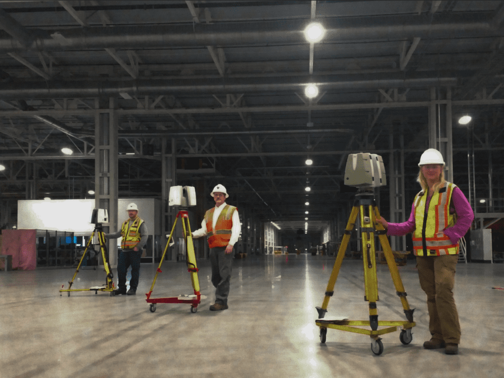
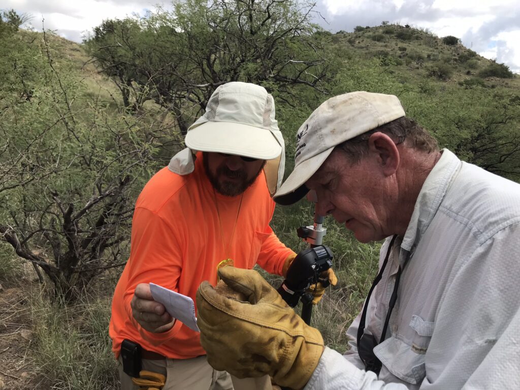
Our team of professional, registered land surveyors has decades of experience worldwide and selects the best tools to save you time and money by doing the job right the first time. We offer a multi-disciplined approach that integrates precision surveying techniques, 3D scanning and our diverse surveying experience to deliver accurate measurements for your project. It doesn’t matter what kind of job you're working on, we've probably successfully completed dozens of similar projects and can apply our experience to your project.
Environmental Consultation
Our wildlife and fisheries biologists, botanists, planners, ecologists, naturalists and other experts work with all aspects of environmental consulting from on-the-ground surveys to complex environmental analysis, document writing, and acquisition of environmental permits. For any kind of project you have, we will apply our decades of experience to select the best tools to provide accurate, complete information in the most cost-effective manner for your project.
