SERVICES:
Thermal imaging by Darling Geomatics is used by engineers, utility operators, facilities managers and production managers in government and industry to detect thermal anomalies that affect energy consumption and operational performance of built environments. Aerial thermal imaging is also used for search and rescue, surveillance, water temperature monitoring and more.
Accurate, Actionable Thermography
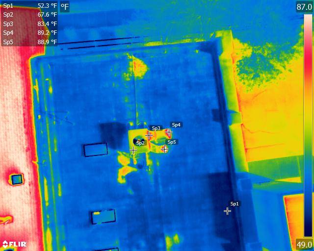
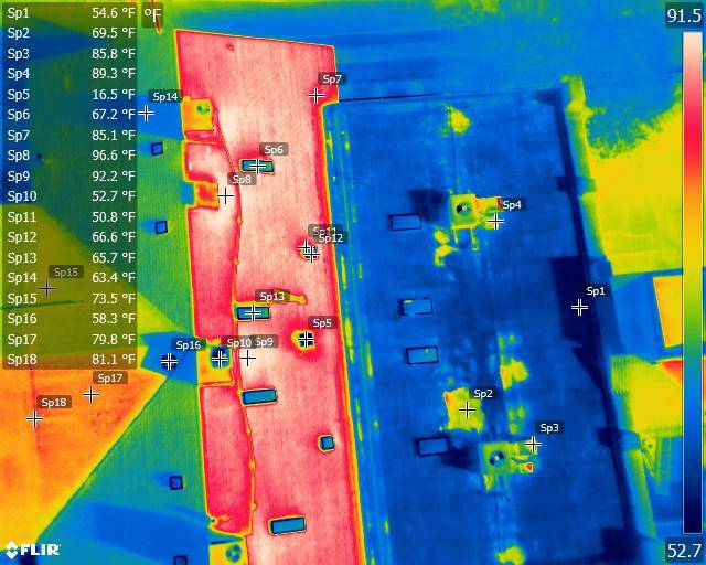
Our aerial radiometric imagery detects “invisible” leaks, areas prone to overheating before they cause equipment failures; hot and colds spots caused by thermal imbalances and a wide variety of other thermal anomalies.
Georeferenced data on every pixel of the thermal image pinpoints locations to prioritize repairs and maintenance and improve efficiency.
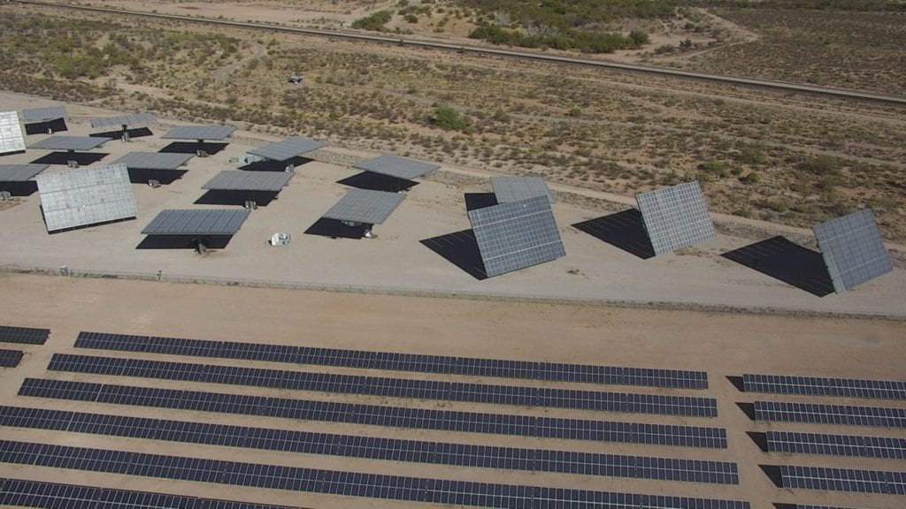
For environmental and wildlife surveys, aerial thermal imaging inspections are safer than other techniques and lowers the cost of services that would otherwise require manned aircraft.
Thermal imaging by ITC-certified experts at Darling Geomatics
Our team of ITC-certified thermographers, licensed UAV pilots and registered land surveyors has the experience to deliver reliable results. We use FLIR-equipped drones and a Zenmuse XT 640×512 resolution radiometric infrared camera.
Deliverables in a wide variety of formats
We can deliver data in virtually any format you require:


