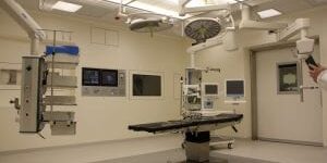
Darling Geomatics has worked with some of the country's top companies


Darling Geomatics
provides precise data collection and measurements for tasks such as pre-planning, asset verification, and ongoing monitoring using geographic information systems (GIS). Whether you need a digital twin for Building Information Modeling (BIM), a safe and remote survey of an underground mine, thermal imaging for an energy audit, or topographic mapping for solar development, our experts tailor the geospatial solutions to fit your specific project requirements.
Our Registered Land Surveyors (RLS), now licensed in 7 states, and licensed drone operators, utilize state-of-the-art tools including survey-grade Trimble GPS, fixed-wing quadcopters drones with capabilities in LiDAR, photogrammetry and thermal imaging. We offer outputs in a variety of formats to suit your needs, including point clouds (.LAS, .LAZ, .PTS, .PTX, .e57, .XYZ), Revit models, 2D drawings, 3D CAD models, Leica TruViews, georectified orthomosaic images, and dynamic visual media like fly-through videos. Trust Darling Geomatics for all your surveying and mapping needs, backed by cutting-edge geospatial technology and geospatial information expertise.
Geospatial Applications and Services
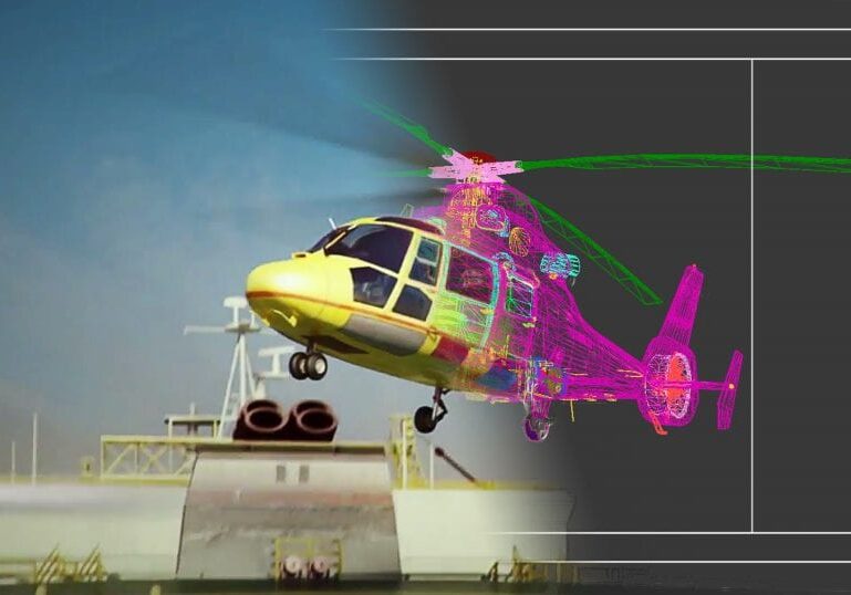
3D Scanning
3D scanning is the ultimate reality capture tool to provide precise measurements of buildings, infrastructure, fixed plant, mobile assets and topography, saving you time and money while improving safety.
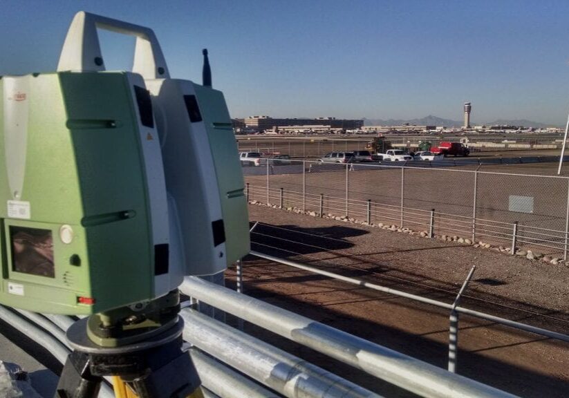
Land Surveying
Our professional, registered surveyors use the best tools to get you the accurate measurements you need for surveys of public land, private land, utility-owned property, municipality sites, mining projects or other areas.
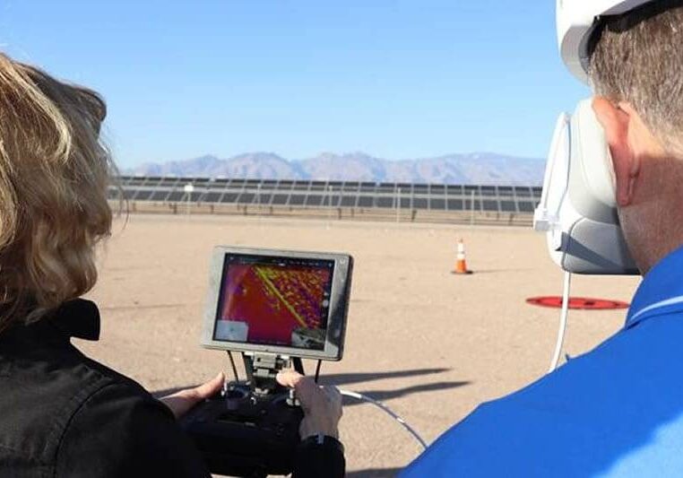
Drone Surveying
UAV photogrammetry, thermal imaging and 3D surveying are accurate at a fraction of the cost of using manned aircraft. Our drone surveys are conducted using our survey-grade fixed wing and quadcopter UAVs that are FAA registered and flown by FAA licensed commercial pilots and certified thermographers.

