APPLICATIONS:
AI in Construction and Other Sectors
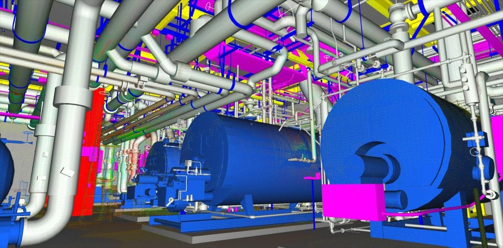
A digital twin is a virtual representation of something in the physical world which enables engineers, architects, and builders to use AI in construction, manufacturing, transportation, aerospace, energy and other industries. For many global sectors, the use of LiDAR scanning and virtual 3D modeling has become a popular and valuable approach in day-to-day operations including asset visualization, systems improvement, personnel training and strategic new project CapEx planning. AI-powered digital twins enhance efficiencies, reduce costs, improve performance, and contribute to sustainable management of assets. They play a critical role in advancing a greener and more sustainable future
Unlocking the Potential of Digital Twins
Aggregate and Simplify Complex Networks
Digital twins of individual components or complex systems can be created quickly. Want to improve transportation safety, improve traffic flow and reduce problem areas of high carbon emissions? An AI-powered digital twin of your transit systems provides the roadmap towards transformative change. Looking to safely and swiftly bring new employees up to speed on $1 million+ expensive equipment? A virtual 3D model of the equipment and workflow eliminates personnel risk and material waste while conducting valuable personnel training.
Reality capture through 3D laser scanning and creation of 3D models delivers smart solutions for manufacturing, transportation, healthcare, aerospace, energy and more.
Through AI-powered digital twins, it’s now possible to safely aggregate and simplify previously complex networks to improve operational and planning solutions across a myriad of sectors and industries.
Global Experts Who Deliver Measurable Accuracy, Repeatability
Across the globe, digital twin use cases are exploding in popularity as valuable tools to achieve goals safer and faster. Whether it’s an underground scan of an abandoned mine or the complex as-built of a mega manufacturing site, Darling Geomatics specializes in planning the best approach, using the right technology, providing accurate 3D scans and delivering the digital twin data in the format you require for your project. Our methods are non-invasive and don’t put your people at risk.
With over 60,000 hours of expertise in laser scanning since 2003, Darling Geomatics delivers accurate, repeatable, georeferenced measurement data to produce digital twins. Our digital twins and 3D maps, which integrate seamlessly with AI in construction technologies, support diverse professionals nationwide - from engineers and architects to facility managers and community planners. AI and digital twins in construction are useful for:
Our experts can deliver digital twin data in virtually any CAD, non-CAD, 2D and/or 3D software format you require, including:
Keep Reading...
- Six Ways Process Digital Twins Are Optimizing Manufacturing (Honeywell white paper)
- International Airport Terminal Reconstruction (YouTube video)
- Unlocking the Potential of Digital Twins: How They Revolutionize Industries (Blog article)


