3D scanning has transformed the way projects are planned, designed, and built. Instead of relying on limited measurements and drawings, engineers, architects, and developers now have access to highly detailed digital models that mirror reality. At Darling Geomatics, our 3D scanning services deliver data-rich insights that help clients make smarter decisions, reduce errors, and save money across all phases of a project.
Whether you are managing large construction projects, documenting historic sites, or working with complex geometries, precision matters. Our team has the expertise and tools to capture every surface, edge, and angle with clarity and reliability.
What Are 3D Scanning Services?
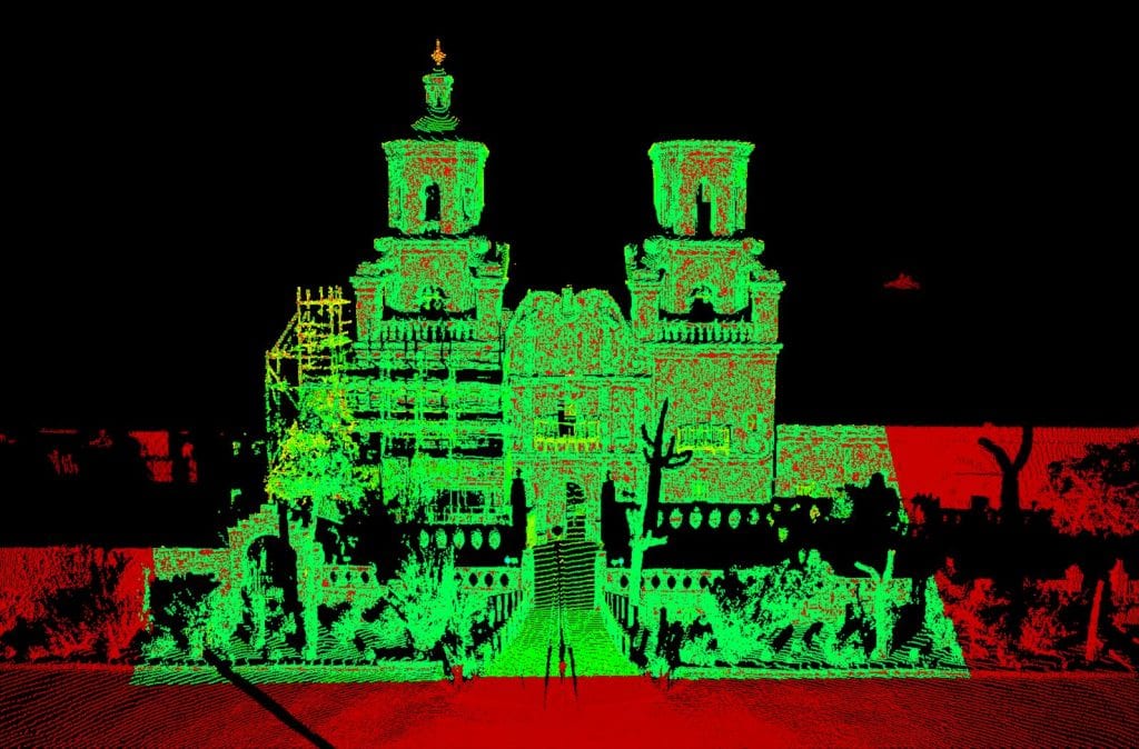
3D scanning services use advanced LiDAR (Light Detection and Ranging) technology to record millions of points in space. These points form a point cloud, which can then be converted into accurate models, drawings, or digital twins. Unlike traditional methods, 3D scanning is fast, non-invasive, and capable of capturing both large-scale environments and intricate details.
For clients, this means receiving 3D scanning data that provides a true-to-life view of structures, facilities, or land. This data is invaluable for design validation, construction verification, maintenance planning, and long-term asset management.
Why Choose 3D Scanning for Your Project?
The benefits of scanning extend far beyond convenience. Darling Geomatics clients choose 3D scanning because it:
- Delivers unmatched accuracy – Data is collected within millimeters of precision.
- Captures complex geometries – Ideal for structures that are irregular, historic, or otherwise difficult to measure with traditional tools.
- Reduces rework – With comprehensive digital models, teams minimize costly errors and site revisits.
- Integrates seamlessly – Scanning data can be imported into CAD, BIM, and GIS systems for immediate use.
- Supports safety – Surveys are performed without requiring crews to physically access hazardous areas.
How Darling Geomatics Approaches 3D Scanning
Darling Geomatics combines decades of surveying expertise with advanced LiDAR scanning equipment to deliver consistent results. Our process includes:
- Initial planning – Working with clients to identify project goals, deliverables, and scope.
- On-site scanning – Using terrestrial LiDAR scanners to capture millions of points across every surface and angle.
- Data processing – Transforming raw point cloud data into usable 3D scanning data such as models, orthographic images, or BIM-ready files.
- Quality assurance – Verifying accuracy against known measurements to ensure the highest level of precision.
- Final deliverables – Providing customized outputs that align with project needs, from construction-ready models to archival-quality documentation.
Applications Across Industries
3D scanning is versatile, supporting projects across multiple industries. Darling Geomatics has successfully delivered scanning projects for:
- Construction and Engineering – Create accurate as-builts, verify construction progress, and resolve design conflicts early.
- Industrial Facilities – Document plants, refineries, and manufacturing sites for upgrades, maintenance, and safety planning.
- Mining and Energy – Measure stockpiles, monitor infrastructure, and support planning with precise models.
- Healthcare and Sports Facilities – Scan interiors for expansions, safety compliance, or renovations.
- Historical Preservation – Digitally preserve historic structures with millimeter-level accuracy for restoration or research.
Each application demonstrates the flexibility of scanning technology, which adapts to projects of all scales and complexities.
Combining 3D Scanning with Drone Surveying
While 3D scanning provides unmatched detail at ground level, drone surveying offers rapid aerial coverage over large sites. By combining both services, Darling Geomatics delivers a complete dataset that supports everything from land development to full digital twin creation.
For example, drones may map a large construction site, while 3D scanners capture detailed as-builts of key structures. Together, these methods give clients a holistic view of their projects—both broad and highly detailed.
Why Work with Darling Geomatics?
Choosing a partner for 3D scanning services is about more than technology—it’s about expertise. With over two decades in surveying and geospatial solutions, Darling Geomatics has the experience to deliver results that clients can trust. Our FAA-certified drone pilots and licensed surveyors understand not only the technology but also the industries we serve.
Clients count on us for:
- Accuracy and reliability across every deliverable.
- Customized solutions for unique project needs.
- On-time delivery that keeps projects moving.
- A proven track record with satisfied clients in construction, mining, energy, and more.
When your project depends on precision, Darling Geomatics is the team to call.
Transform Your Next Project with 3D Scanning
The success of your project depends on the quality of your data. With 3D scanning, you can eliminate guesswork, reduce costs, and move forward with confidence. Whether you’re dealing with complex geometries, large-scale developments, or high-stakes facilities, Darling Geomatics provides the tools and expertise to capture every detail.
Contact Darling Geomatics today to learn how our 3D scanning services can support your next project.