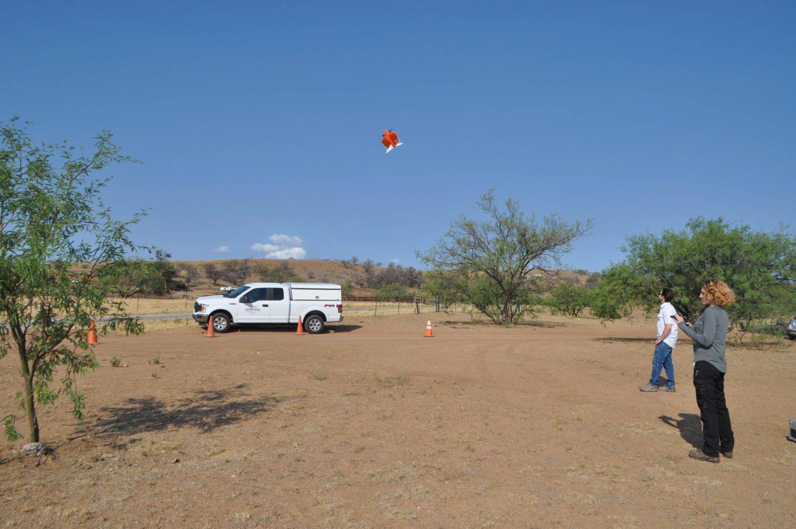
While others wilted from the summer heat, Darling Geomatics roared into summer 2021, and the news is all sunny. First, the acquisition of a new high tech vertical take-off and landing (VTOL) fixed-wing drone has pilots and customers buzzing. Because this type of drone can go straight up and down like a helicopter, it does not require a large, open, horizontal space for take-offs and landings. This means they can maneuver in tight spaces, such as forests and mines. These agile drones do well in windy conditions as well, and they boast great endurance, easily covering up to 500 hectares in a single flight.
In addition, the design of a VTOL fixed-wing drone alleviates the problem of “belly landings” that, on other fixed-wing or quad-copter drones, did damage to both drone and camera over time. VTOL fixed-wing drones set down lightly on gravel and other rough surfaces, protecting their payload. They can even land on a moving surface, such as a boat.
Because VTOL fixed-wing drones are more powerful, they can handle more weight, allowing them to be mounted with heavier, higher-tech cameras. The resolution capabilities of the newer, more versatile equipment employed by Darling Geomatic produces results at least ten times better than those of Google Earth!
Darling Geomatics’ new drone has been in steady demand this summer, collecting engineering grade topographic survey data, multispectral wavelength data for crop inspections, and high resolution true color aerial images. It is also deployed for change detection monitoring of drainages, construction volumes and more. Customers are thrilled with the new capabilities for measurable, repeatable survey data created with the best commercially available tools.
In other news this summer, Darling Geomatics has a new crop of drone pilots in training. Among them is a young intern who graduated in the inaugural JTED UAV class in 2020-2021. They are all excited to “get their wings” and become licensed drone pilots!
Finally, Darling Geomatics is also working with Critical Infrastructure Investments to design and manufacture new drone sensors for agriculture, energy monitoring, carbon sequestration measurements, hydrological properties, rare earth locations, and other projects. These important efforts will continue revolutionizing and expanding the already astounding capabilities of UAV surveying.
Dedicated to bringing customers the “latest and greatest” in UAV surveying and scanning technology, Darling Geomatics is enjoying a summer of big wins. New high tech equipment, an expanded team of pilots, and involvement in developing technology combine to keep this company cutting edge.

Sign up for our email newsletter to receive updates on the latest in engineering technology that will help improve your projects' efficiency, safety, and costs.
