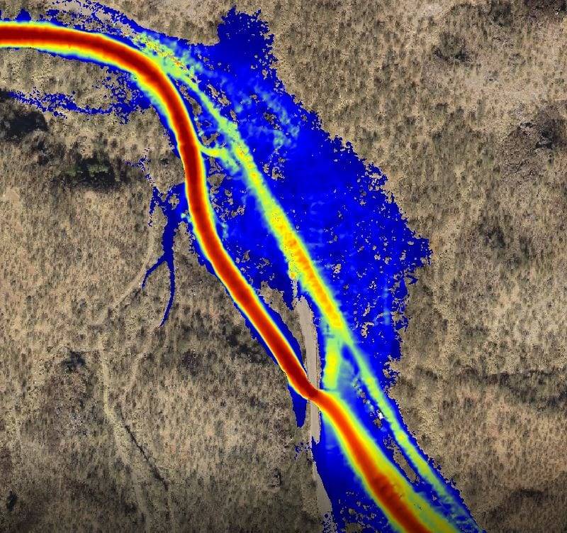
Drone Surveys for 3D Flood Simulations

Our drone surveying and mapping services provide surveying and mapping services provide hydrologists, engineers and others with accurate digital data for flood stage calculations, topographical maps, and 3D visualizations, reducing the risk of design errors, lowering project costs and improving safety:

  • High-flow simulations: 3D digital data is used for high-flow simulations to plan for 100, 300, and 500 year floods.
  • 3D visualization of flood stages: Survey grade drone data is used to create georeferenced digital true color orthomosiac images to visualize flood stages and design roads, bridges and infrastructure.
  • Accuracy reduces errors: Drone surveys deliver more precise hydraulic data and reduce project costs.
  • Why drone surveying? Drone surveying is faster, safer and more cost effective than other types of surveys.
  • Rely on experts: Our world-class experience integrating professional land surveying and drone aerial surveying produces reliable engineering quality results.
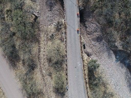
DJI_0264_512
DJI_0142_512
aerial view of flood simulation
Aerial view of flood simulation

What Our Clients Say

“When delineating flood risk or floodplain limits for design purposes we are using multi-dimensional analysis in our hydraulic modeling software packages. Our inputs to our models require a true depiction of the terrain to give accurate results and that starts with a good foundation. True color digital orthomosiac images and photogrammetry data delivered from the UAV flights by Darling Geomatics have proven to be a comparable depiction of the terrain that previously was only available with an airplane flight, only more timely. We have found that the UAV generated aerial photographs and digital topographic data is more cost effective for our clients as well.” -- Scott Altherr, Principal Engineer, CMG Drainage Engineering, Inc., Tucson, Arizona

Stay informed

Sign up for our email newsletter to receive updates on the latest in engineering technology that will help improve your projects' efficiency, safety, and costs.

Stay informed

Sign up for our email newsletter to receive updates on the latest in geospatial technology that will help improve your projects' efficiency, safety, and costs.

Plot your path to success.

Connect with the pros at Darling Geomatics to get started with your high-tech geospatial or land surveying project.