In Arizona and throughout the United States, drone surveys provide revolutionary applications for planning, mapping, monitoring, and imaging on a limitless variety of projects. Considering the relatively recent advent of drone technology, the advances in their capabilities are remarkable. Only since 2006 have drones even been produced commercially, and the earlier incarnations had definite limitations, their exorbitant cost being one of them. The past eight years, however, have seen drones really take off and come into their own, offering newer and better tools for mining, construction, transportation, energy, and other industries.
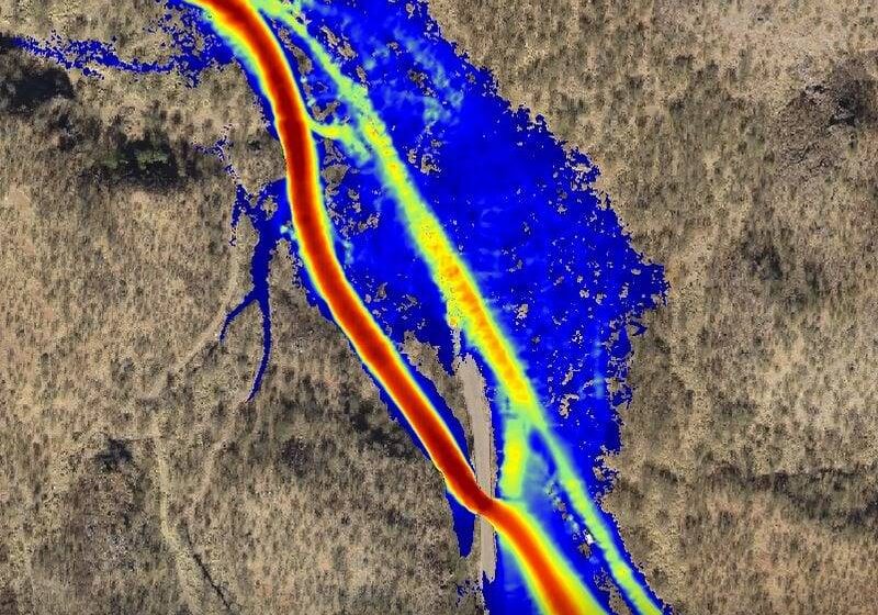
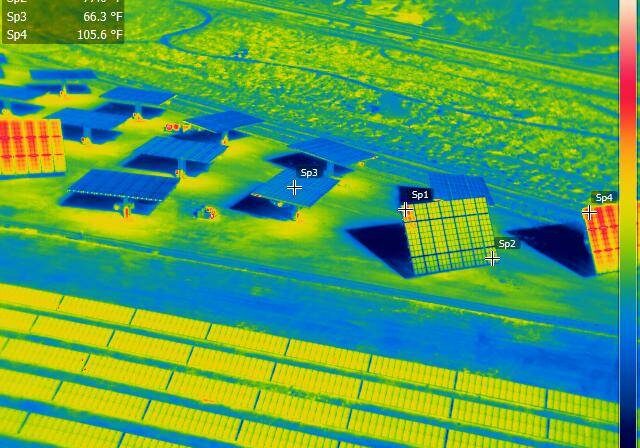
Combined with sophisticated analysis and modeling software, UAV photogrammetry surveying helps generate a wealth of information to improve any project. Whether you need to acquire an as-built survey in order to renovate a hospital wing, gather data on the efficiency of your solar panel field, create a floodplain simulation, or obtain measurable orthomosaic photographs of a golf course, drone surveys deliver.
Darling Geomatics for Drone Surveys in Arizona and Throughout the United States
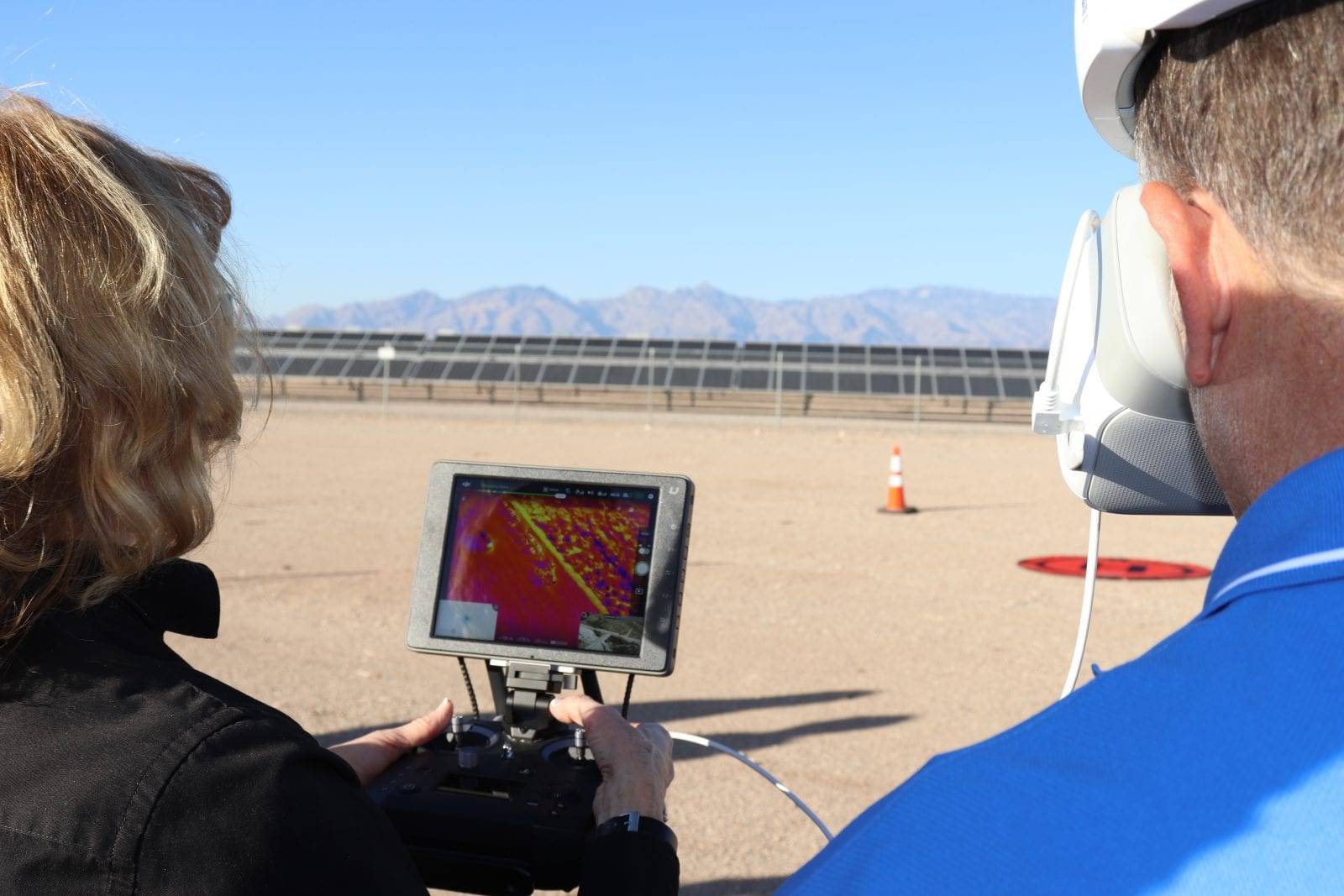
For precision drone surveys, Darling Geomatics stands out as leaders in the Southwestern United States for accuracy, engineering experience and technical capability. Darling Geomatics’ experts are FAA-licensed pilots who fly our FAA-registered aircraft, with four different FEMA damage assessment certifications, thermography certification and more. Survey grade ground control and fixed wing and quadcopter drones acquire latitude, longitude, and elevation (x, y, and z) data accurate to within +/- 3 – 6 cm (1.2 - 2 in).
21st Century Precision
Drones, or unmanned aerial vehicles (UAV), produce millions of data points from safer distances and at lower costs than were possible with traditional methods of surveying or aerial photography, allowing for the creation of innovative maps and scans with pinpoint accuracy. Unlike few others in the industry, we deliver measurable georeferenced aerial maps and images. Our data is accurate to within centimeters. Our computer-aided design and drafting (CAD) drawings of topography and structures enable engineers to maximize structural strength from the first stages of a project while visualizing their finished work with precision unimaginable just a few years ago.
From topographical maps at a project’s inception, to construction oversight as work progresses, to as-built images, companies are finding more and more ways to employ drone surveys for 21st century solutions. On construction sites, our technology enables builders to plan for drainage, catch mistakes, locate cracks in concrete, monitor stockpiles of materials, and improve safety. As-designed plans may be overlaid with as-built images for comparison--valuable information for future use in upgrading or renovating a structure. The applications seem limited only by imagination.
Drone Surveys Let You Access the Inaccessible
In addition to precision georeferenced aerial mapping, UAV technology has transformed many formerly complicated or impossible operations. For example, the advantages of using drones to inspect inaccessible structures such as bridges, cell phone towers, and oil rigs are incalculable. Using UAV photography to monitor roof construction costs far less than using a helicopter and is much, much safer.
Our FAA-licensed pilots can fly our fixed wing and quadcopter drones closer to a structure and maneuver in tighter spaces than aircraft pilots can. As a result, they collect critical data for analysis.

How Can You Afford Not to Use Drone Surveys?
If your project’s success depends on accuracy, efficiency, and safety, and if finishing on time and within budget matters, we can help you not only meet but exceed expectations. UAV technology streamlines data collection, making it faster, simpler, and without risk to personnel.
The advantages of drone surveys are clear. Why make things harder by relying on yesterday’s technology?
Sign up for our email newsletter to receive updates on the latest in engineering technology that will help improve your projects' efficiency, safety, and costs.


