Drones supplement ground crews and replace manned aircraft, reducing time and cutting costs of producing topographic maps and models.

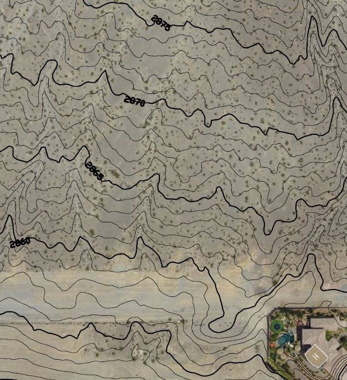
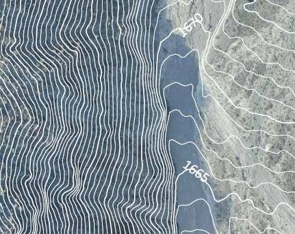
Our professional land surveyors deliver contour maps you can trust.
High-resolution aerial maps make resource and logistical planning faster and more accurate because everyone associated with the project has the same, clear visual of the project site.


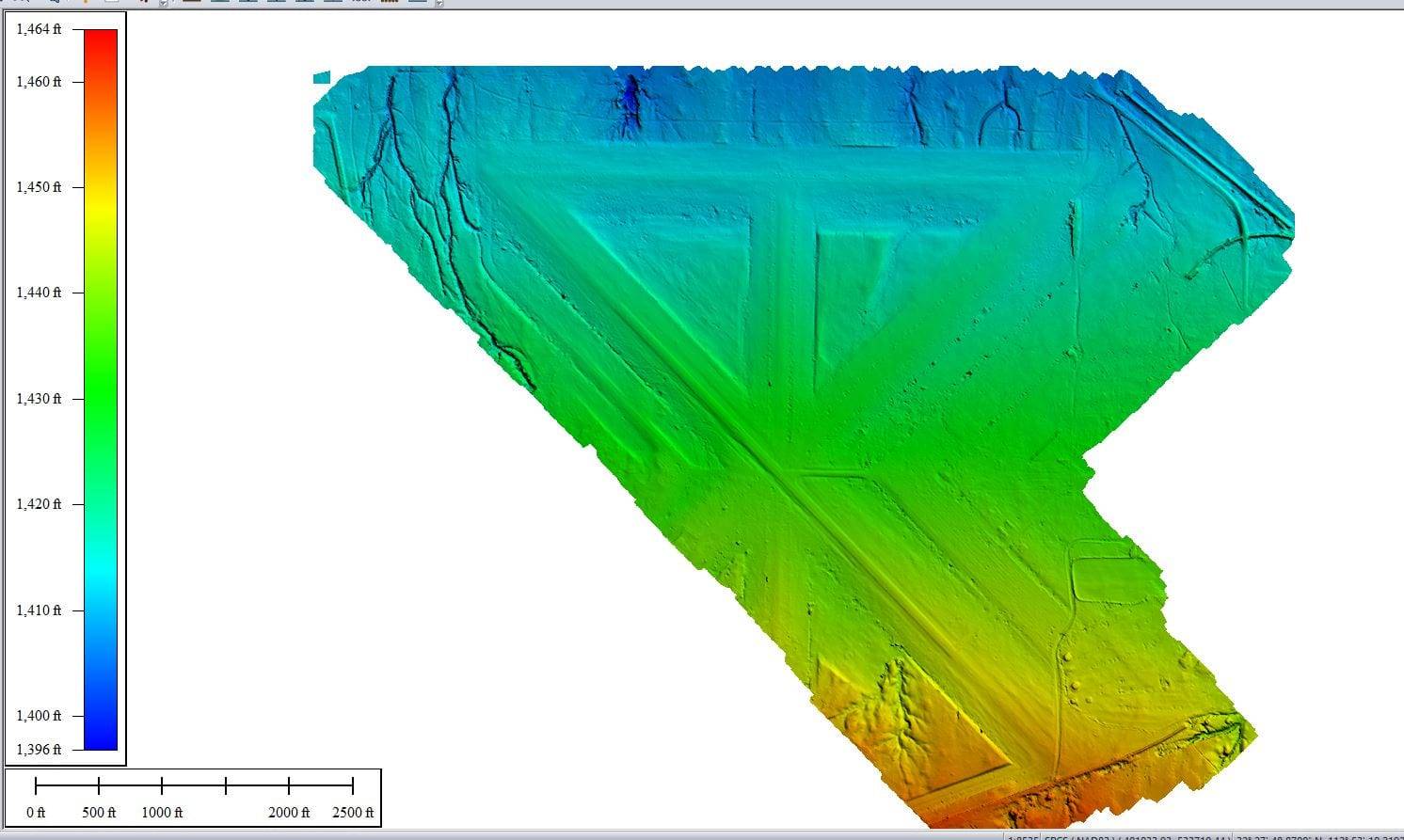
Bare earth models (also known as digital terrain models or DTMs) can be created with specialized software to eliminate vegetation, vehicles, buildings and other objects that extrude above the terrain height.
Sign up for our email newsletter to receive updates on the latest in engineering technology that will help improve your projects' efficiency, safety, and costs.
Sign up for our email newsletter to receive updates on the latest in geospatial technology that will help improve your projects' efficiency, safety, and costs.
