Thank you! You've been added to our list, and will receive our next email newsletter.
Recent Posts
Top FAQs About Drone Surveying – Darling Geomatics
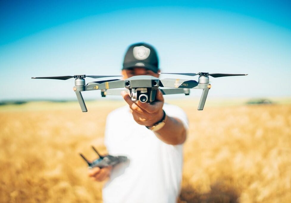
Drone Surveying FAQs: Everything You’ve Wanted to Ask (But Didn’t Know Who to Ask) Drone surveying is revolutionizing the world of geospatial data collection, but for many engineers, developers, and project managers, it remains a mystery. In this blog, we tackle the most frequently asked questions about drone surveying – the ones people hesitate to…
The Importance of Accurate Land Surveys in Arizona’s Mining Industry
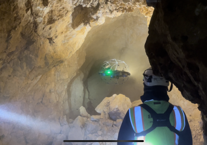
Mining has been a cornerstone of Arizona’s economy for over a century, producing copper, gold, silver, and a range of other minerals critical to industries worldwide. But behind every successful mining operation is a foundation of precise, detailed land surveying. At Darling Geomatics, we understand how crucial accurate land surveys are to the success, safety,…
What is the difference between Hyperspectral Imaging and LiDAR?
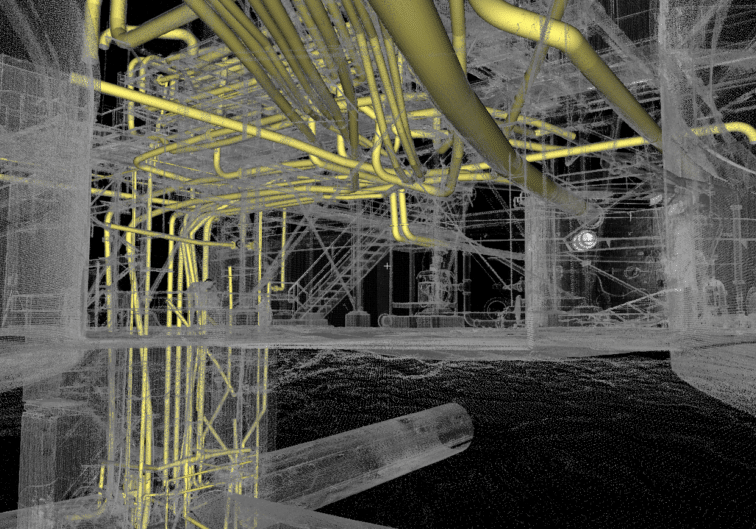
If you’ve ever dipped a toe into the world of remote sensing, you’ve probably heard a lot about hyperspectral imaging and LiDAR. Both technologies are indispensable in modern geospatial work, but they’re often misunderstood or lumped together. At Darling Geomatics, we use both technologies extensively-sometimes independently, sometimes in tandem-to support everything from large-scale environmental assessments…


