SERVICES:
Hyperspectral Imaging for Rapid Natural Resource Mapping Including Rare Earths and Lithium
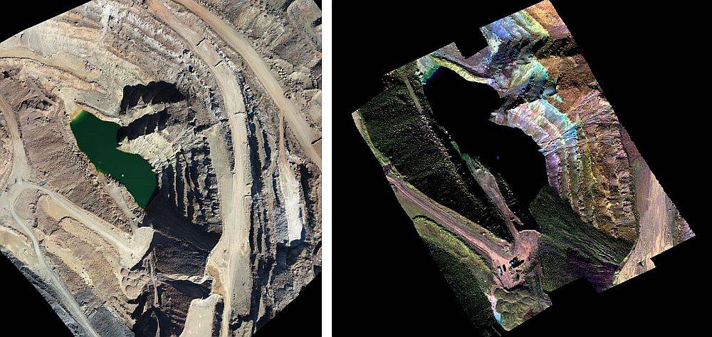
Our hyperspectral imaging provides accurate, measurable, and repeatable 3D spectral data for large surface areas using drones equipped with advanced hyperspectral and LiDAR sensors. These georeferenced spectral signatures are used to identify mineralogy for mining exploration and to provide valuable data on the health of plants for agriculture and forestry.
Mining applications include:
- Mineral exploration for rare earth, strategic and critical minerals including lithium
- Mineral detection of mined areas such as waste rock for further processing
Agricultural applications include:
- Plant health for rapid treatment plans
- Plant species data, insect infestation and weed intrusion mapping
Safe and Rapid Insight to Mineralogy
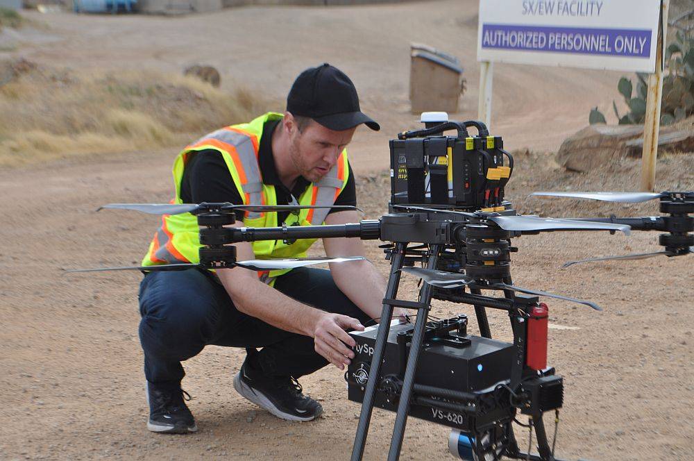
Our drones, equipped with hyperspectral sensors and LiDAR, can access remote, hazardous terrain from a safe distance. Unlike satellite or manned aircraft surveys, we collect data and deliver digital terrain maps with spectral features within days at a significantly higher resolution.
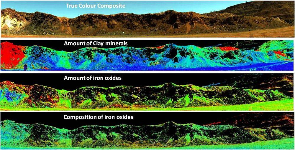
For mineral exploration – especially for rare earth elements, lithium, and other critical and strategic minerals – drone based hyperspectral and LiDAR imaging provides high-resolution surface mineral mapping in inaccessible or steep terrain. Our hyperspectral imaging provides spectral characterization of minerals and our LiDAR provides digital terrain maps. The combined deliverables allow our customers to better identify minerals and their relationship to faults, fractures, and alterations to plan more efficient drilling and sampling programs.
Hyperspectral imaging provides mining operations with insight to mineralization in unmined areas, pit walls, rock in haul trucks, and rock on conveyor belts to make more informed decisions on scheduling, processing and re-mining without interrupting operations or putting mine personnel at risk in hazardous areas.
Complete Service from Flight Plan to Surface Mineral Maps
We fly heavy-lift drones based on flight plans determined in cooperation with our clients. Our drones are equipped with hyperspectral sensors and LiDAR to simultaneously collect spectral and geographic data. The data sets are processed to orthorectified spectral data. For mining, these data are compared to localized spectral libraries to display mineral classifications and distributions on a digital terrain map.
Decades of Experience in Mining
Mines worldwide rely on our mine surveying, 3D scanning and aerial mapping to produce topographic maps, orthomosaics, digital terrain maps, structural health assessments, bare earth models in 3D, thermal imaging, construction monitoring, volumetric tracking of mining operations and more. Hyperspectral imaging is a value-added service for mineral exploration and mine optimization.
Complete Plant Health Mapping
In agronomy and forestry, aerial hyperspectral imaging provides valuable data on plant health, disease, insect infestations and general conditions so growers and foresters can take early action to improve food safety, prevent forest fires and minimize other costly losses.
What You Get:
We can deliver data in virtually any format you require:
- Mineral maps
- Plant pathology maps
- True color and spectral images
- Point clouds, 3D models and digital twins
- AutoCAD
- JPGs, Pdfs and tiff images
- Flythroughs and videos


