SERVICES:
Land Surveying with Drones: Advanced Geomatic Survey Solutions
For accurate, professional geomatic land surveying, trust Darling Geomatics. Our Registered Land Surveyors (RLS), licensed in 7 states, bring decades of experience and technical expertise, harnessing the latest technologies to deliver a detailed geomatic survey for any project. Darling Geomatics offers more tools, more options, and more precision.
Our advanced land surveying services are integrated with drone and mobile mapping LiDAR capabilities to deliver precise data maps and certifications. From investigations to planning to acquisition and development — landowners, engineers, planners and developers in industry and government worldwide choose Darling Geomatics for:
Expanding Multi-State Land Surveying with Drones Across 7 States
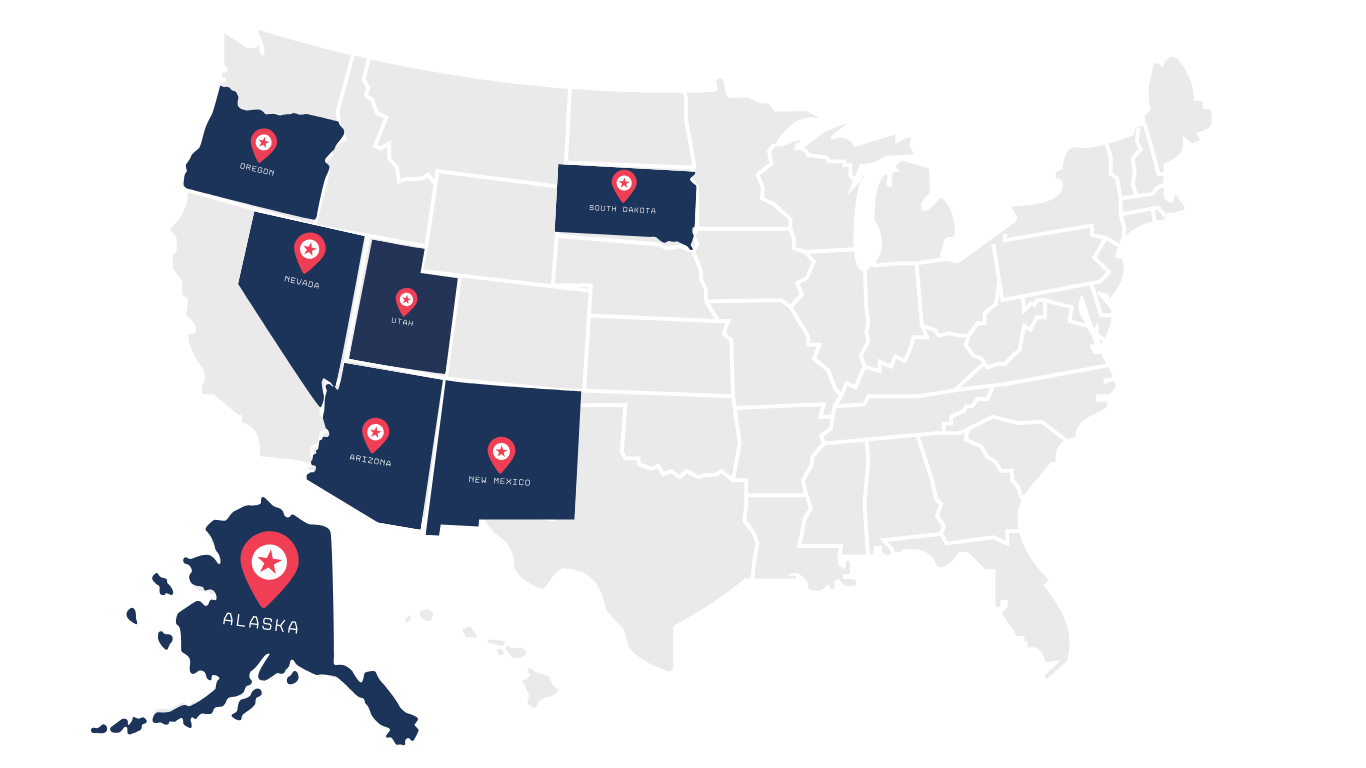
With Registered Land Surveyors (RLS) licensed across seven states, Darling Geomatics is able to provide professional land surveying services in Alaska, Arizona, Nevada, New Mexico, Oregon, South Dakota, and Utah as well as drone services nationwide and 3D scanning worldwide. Our thorough understanding of state-specific as well as international surveying regulations coupled with our commitment to precision allows us to deliver accurate, repeatable, high-quality data safely — on time and within budget.
Experienced Licensed Land Surveyors
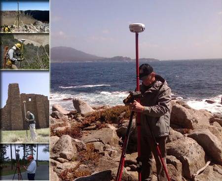
Our team of professional, registered surveyors has decades of experience worldwide and selects the best tools to save you time and money by doing the job right the first time. We offer a multi-disciplined approach that integrates precision surveying techniques, 3D scanning and our diverse surveying experience to deliver accurate measurements for your project. It doesn’t matter what kind of job you're working on, we've probably successfully completed dozens of similar projects and can apply our experience to your project.
Leading GPS, GIS & Drone Technology for Land Surveying
We’re proud to be leaders in GPS, SIS and GIS. We provide state-of-the art Spatial Imagery Systems (SIS) using the integration of 3D scanning, drones and Trimble GPS surveying systems. The SIS system is capable of providing sub-millimeter accuracy and can be used for virtually all applications.
The use of professional land surveyors to georeference all of our survey, 3D scanning and drone data allows us to combine virtually any digital mapping layers including BIM, topography, thermography, environmental parameters and hydrology. Point, line and polygon data is easily acquired and rendered in AutoCAD. The data is then exported as a SHP file for use with ESRI software. We continuously upgrade our technology to provide you with the highest level of precision.
Custom Deliverables for Land Surveying in Your Preferred Format
Our experts can deliver data in virtually any CAD, non-CAD, 2D and/or 3D format you require:
Professional Affiliations
Darling Geomatics maintains active memberships in:
Professional Surveying Associations



Engineering Industry Associations
