SERVICES:
High-Precision LiDAR Scans for Accurate 3D Mapping
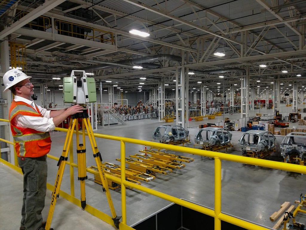
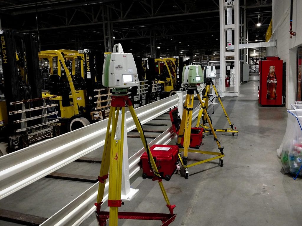
A LiDAR scan (Light Detection and Ranging) provides unmatched precision in geomatic surveying and 3D mapping. Using advanced laser technology, a single LiDAR scan captures millions of data points to create detailed 2D and 3D models, including digital twins. This high-resolution spatial data supports a variety of applications—from topographic mapping and infrastructure monitoring to inspections, volumetric analysis, and site planning. With the integration of AI-driven processing and drone-mounted systems, each LiDAR scan delivers faster, more accurate, and more efficient results across industries.
Where LiDAR Scans Deliver Real-World Value
Our terrestrial, aerial and underground 3D models are used by engineers, architects, manufacturers, facility managers, BIM managers and community planners. Clients around the globe turn to us for:
How LiDAR Drones Power Accurate Digital Twins

3D LiDAR Scanning and Digital Twins
Using laser scanning with a LiDAR drone allows us to operate at safe distances from dangerous or inaccessible areas. Our pilots stay out of harm’s way, and you don’t have to incur costly work stoppage during scanning. The level of accuracy in our LiDAR sensors is unprecedented.
We provide accurate, repeatable measurement data to produce high resolution 2D and/or 3D digital maps and models, depending on customer requirements. Our LiDAR data services generally save our clients 3 to 10 times the cost of the service and help to avoid project delays and cost overruns.
Explore the rich level of detail contained in the 3D point cloud model below of an underground shaft. Captured by drone pilots from the Darling Geomatics extensive team, data like this can accurately determine the overall condition of underground workings, and also alert the client to the presence of equipment or vehicles contained within — safely, without endangering crew or equipment. Data captured using drone surveying can provide accurate digital elevation models.
INSTRUCTIONS:
Use Adobe Acrobat for 3D viewing
- Download PDF, open with Adobe Acrobat.
- To enable playing of Multimedia & 3D Content in this PDF, select Options and then select one of the following:
- Trust this document one time only, or
- Trust this document always.
- Rotate the point cloud using your mouse. Pro Tip: The home icon in the top navigation bar will reset the model for a fresh start!

Mobile LiDAR: High-Speed Data Collection on the Move
Mobile LiDAR allows Darling Geomatics to collect high-density 3D data while in motion—mounted on vehicles, ATVs, or rail systems. This approach is ideal for surveying large infrastructure corridors such as highways, railways, pipelines, and utility networks with exceptional speed and accuracy. By capturing millions of points per second, mobile LiDAR reduces field time and minimizes disruptions to traffic or operations. Combined with our Reality Capture expertise, this technology delivers actionable geospatial data for engineers, planners, and developers who need precise, real-world context over long linear distances.
Rely On Our Expertise
With more than 60,000 hours of LiDAR expertise since 2002, we specialize in planning the best approach, using the right technology, providing accurate 3D scans and delivering the data in the format you require for your project. Our methods are non-invasive and don’t put your people at risk.
Deliverables In Any Format
Our experts can deliver data in any CAD, non-CAD, 2D and/or 3D format you require:
Frequently Asked Questions About LiDAR Drones for Construction
Keep Reading...
- LiDAR Capture of 1.5 Million Square Foot Auto Manufacturing Plant (Case study)
- Modern Civil Design using 3D Data (YouTube video)
- Digital Surface Modeling: How AI Converts 2D Images into 3D Insights (Blog article)