SERVICES:
Design clashes caught on paper cost nothing to fix. The same clash discovered during construction can cost tens of thousands of dollars in rework, schedule delay, and trade coordination. Darling Geomatics provides laser scanning services specifically to support MEP clash detection workflows — capturing verified as-built geometry of existing conditions and feeding it directly into your BIM coordination model.
When your clash detection is running against a design model alone, you're only catching conflicts between new systems. When it runs against a scanned model of what actually exists in the building, you catch everything — including the duct that was rerouted three years ago and never updated in the drawings. That's the difference between a clash report and a complete clash report.
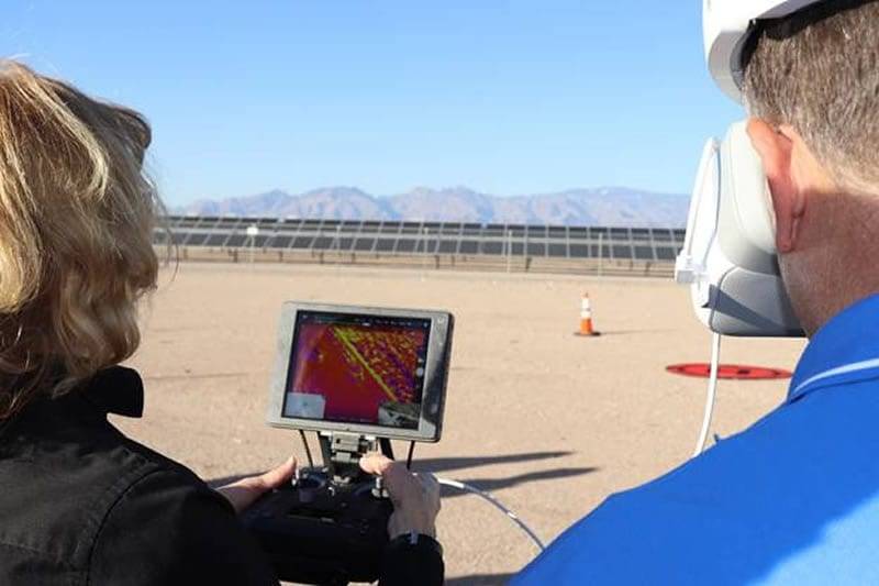
Fast, Cost-Effective 3D Drone Scanning Outperforms Traditional Methods
Why Design-Only Clash Detection Isn't Enough
Traditional BIM clash detection compares new design systems against each other — new mechanical against new structural, new electrical against new plumbing. For ground-up construction from a clean design model, that's often sufficient. For renovation, retrofit, and fit-out projects, it's fundamentally incomplete.
Existing buildings rarely match their drawings. MEP systems get rerouted, structural elements get added, slabs get thickened, and ceilings get dropped — none of which makes it back into the record drawings. When your BIM coordination model is built on those outdated drawings, your clash detection has a blind spot: everything that exists in the real world but isn't reflected in the model.
A laser scan of existing conditions closes that gap entirely. Every pipe, duct, conduit, beam, and ceiling condition is captured at its actual location and fed into the coordination model as verified geometry. Your clash detection is now running against reality — not a 20-year-old drawing set.
What Scanning-Backed Clash Detection Catches
Structural Conflicts
New mechanical or electrical runs that intersect with existing beams, columns, or slabs at locations that differ from drawing records — often by enough to make installation impossible without field modification.
MEP Routing Conflicts
Existing duct runs, pipe chases, and conduit banks that occupy the plenum space your new systems are designed to route through — invisible in the design model but fully documented in a scan.
Ceiling Clearance Violations
Existing above-ceiling conditions that leave insufficient clearance for new systems, hangers, and access requirements — typically only discovered during rough-in when trades are already on site.
Equipment Clearance Issues
Existing equipment, curbs, penetrations, and infrastructure that conflict with new equipment placement, service access paths, or code-required clearances.
Coordination Baseline Discrepancies
When multiple design disciplines are working from different versions of existing conditions, a single scanned model becomes the shared coordination baseline — eliminating the version conflicts that generate unnecessary clashes.
How Our Clash Detection Scanning Workflow Works
Step 1 — Existing Conditions Capture
We mobilize to site and laser scan the areas of the building where new systems are being designed — typically the full floor plate including above-ceiling plenum space. For MEP-intensive projects, we capture from floor to deck to document the full vertical clearance envelope available for routing.
Step 2 — Point Cloud Registration
Scan stations are registered into a single unified point cloud and georeferenced to match the coordinate system of your design model — critical for accurate overlay during clash detection.
Step 3 — Model Production
Depending on your coordination workflow, we deliver either:
Raw point cloud (.RCP/.RCS) for direct Navisworks or Revit overlay — your BIM team links the cloud as a reference and runs clashes against it directly
As-built BIM model — We model existing MEP and structural elements from the point cloud in Revit at LOD 300–350, giving your coordination team discrete clash-able objects rather than a point cloud reference
Step 4 — Clash Report Integration
Once your team has the scanned data integrated into the coordination model, clash detection runs as normal — with the addition of existing conditions as a fully populated discipline. We're available to support your coordination team's first run-through if needed.
Point Cloud Overlay vs. As-Built BIM Model — Which Do You Need?
The right deliverable depends on your coordination team's workflow and the complexity of the existing conditions:
The Cost of Getting This Wrong
The average construction rework cost caused by field clashes runs between 5–9% of total project value — the majority of which is preventable with accurate existing conditions data feeding the coordination model. A single day of rework on a mid-size commercial project typically costs more than a complete building scan.
Consider the real cost drivers:
- Trade remobilization — Sending a mechanical crew back to re-run ductwork that conflicts with an existing beam costs the mobilization, the labor, and the material — plus schedule impact to every downstream trade
- Change order markup — Most change orders carry 15–20% contractor markup on top of the base rework cost
- Schedule compression costs — Delays caused by field clashes compress downstream schedules, often requiring overtime or acceleration premiums to recover
- Owner relationship damage — Repeated field clashes erode confidence in the project team's coordination capability — a reputational cost that outlasts the project
A laser scan of existing conditions, fed into your BIM coordination model before work begins, converts each of these risks into a line item that disappears from the change order log.
Related Scanning Services
Clash detection scanning works best as part of a connected project workflow:
-
Scan to BIM Services — For projects requiring a fully modeled as-built BIM rather than a point cloud overlay, our Scan to BIM service delivers a coordination-ready Revit model at your specified LOD
-
3D Scanning for Renovation Projects — As-built documentation for the full renovation scope, not just the MEP coordination model
-
Pre-Construction Site Survey — Capture existing site conditions before design begins to prevent clashes at the earliest possible stage.
- View all 3D Scanning Services →

Our Certifications, Licenses & Affiliations
Darling Geomatics is proud to be a member of the following:

