Posts by Nancy Roth
7 Facts About 3D Aerial Mapping with Drones
A lot of terms relating to modern surveying technology get muddled: 3D drone scanning, LiDAR scanning, UAV surveying, photogrammetry, etc.
Read MoreDarling Geomatics Teaches GPS Applications at SAQF Family Day Event
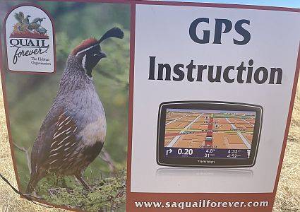
Mary Darling and Rich Darling taught local youth and adult teams on the basics of GPS applications and how they can be applied real time in the field at the annual SAQF Family Day.
Read MoreAUVSI XPONENTIAL 2022
Visit us in Booth 1055 in the Arizona Pavilion to learn about our high tech UAV surveying and mapping services including specialized sensor technologies: radiometric, hyperspectral, gravimetric, magnetometric, electro-magnetic and ground penetrating radar. Also learn about our conventional land surveying, terrestrial LiDAR, 3D modeling, BIM, digital twins, and DTM expertise.
Read MoreDarling Geomatics Participates in High School Career Expo
Darling Geomatics is exhibiting at Tucson International Academy’s 11th Annual Career Expo to share insights and experience with students about exciting careers as high tech surveyors who use leading-edge technologies outdoors in the field. 250 students in grades 8 through 12 from Tucson International Academy’s four campuses will attend.
Read MoreMary Darling Supports STEM for Girls at Arizona’s SheTech Explorer Day 2022
Mary Darling Supports STEM for Girls at Arizona’s SheTech Explorer Day 2022 Mary Darling, CEO of Darling Geomatics, will be demonstrating high tech digital data collection with LiDAR to high school age girls who are interested in STEM curricula at the 2022 SheTech Explorer Day on March 2, 2022. This is our third year of…
Read MoreMineral Sensing Technology Live Demo Day
Join Darling Geomatics, Norsk Electro Optikk (NEO), University of Arizona Mining & Geological Engineering, and Excelsior Mining – Johnson Mine for a live demonstration of state-of-the art technology in hyperspectral imaging, UAVs, and processing used for enhanced, cost-effective mineral detection, identification, and mapping.
The live field demo of data collection is in the morning followed by presentations and a panel discussion of data collection, processing, analysis, results, and mineral mapping in the afternoon. A brown bag lunch will be provided.
You can sign up for the morning session, afternoon session, or both. There is no cost to attend.
Read MoreArizona Photonics Days Sponsor and Presentation
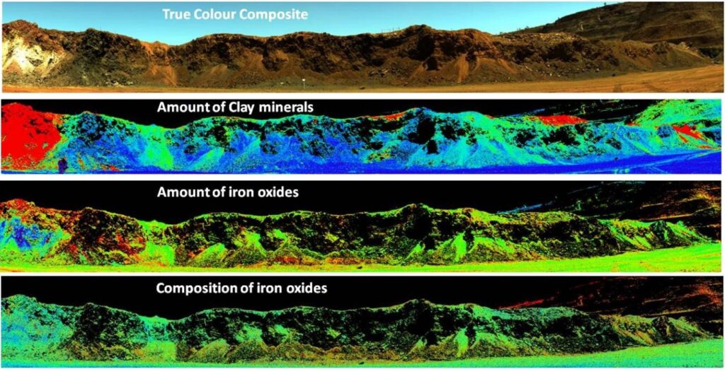
Darling Geomatics is proud to be a sponsor of the 5th Arizona Photonics Day conference. Mary Darling will give a brief presentation during the Sensing & Metrology session on January 21 about the use of hyperspectral images and LiDAR for mineral classification and mapping. Hyperspectral imaging is emerging as a reliable and cost-effective approach to identify mineral resources such as copper and rare earth elements that are used in today’s advanced and clean technologies and critical for national security.
Read MoreAiming High: Drone Technology Trends and Advances
Mary Darling will join an expert panel to discuss what drives opportunities and new applications for smart, mobile, connected and roaming devices. Within 5 years, drones are predicted to be an industry that exceeds $55 billion dollars with over 15 million drones deployed and integrated into construction, utilities, military, mining, consumer support, law enforcement, and agriculture. This expert panel will dive into what drones can do now, what the likely opportunities will soon be, and how attendees can be better equipped to use this new technology.
Read MoreDarling Geomatics Partners with Pima JTED to Train Drone Operators
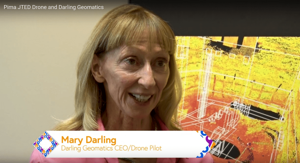
Darling Geomatics is proud to partner with Pima JTED and its Drone Program to respond to increased industry demand for drone operators. Watch the video!
Read MoreSouthern Arizona Tech + Business Expo 2021
Learn about Darling Geomatics drone survey, 3D scanning, thermal imaging, hyperspectral imaging, and land survey capabilities in Southern Arizona Tech + Business Expo exhibition hall.
Read More
