Archive for August 2021
Multispectral and Hyperspectral UAS Data Collection and Uses
Darling Geomatics will be conducting live demonstrations at the Arizona Geographic Information Council (AGIC) UAS Workgroup fly-in seminar co-hosted with Westland Resources. Registration is required. There is no cost to register in person or online.
Read MoreDarling Geomatics Soars into Summer 2021
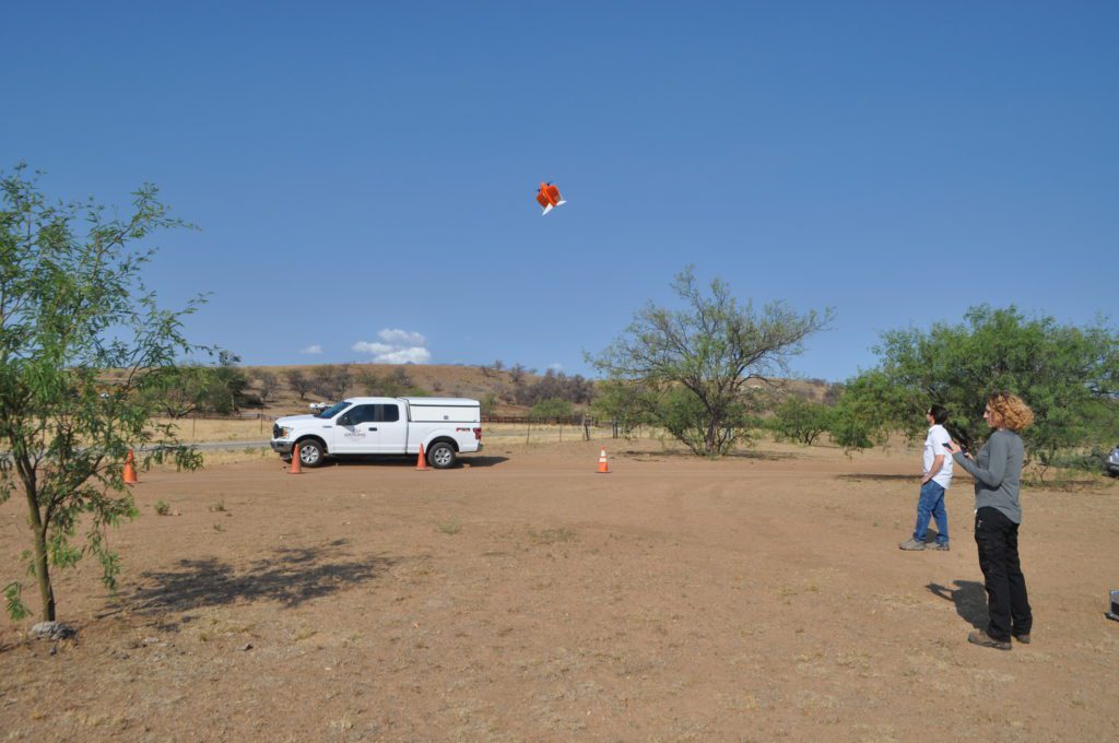
Darling Geomatics Soars into Summer 2021 While others wilted from the summer heat, Darling Geomatics roared into summer 2021, and the news is all sunny. First, the acquisition of a new high tech vertical take-off and landing (VTOL) fixed-wing drone has pilots and customers buzzing. Because this type of drone can go straight up and…
Read More