Archive for August 2022
Guide to Hyperspectral Imaging
Hyperspectral imaging, also known as imaging spectroscopy, refers to the gathering and processing of data from across the vast electromagnetic spectrum.
Read MoreWhen to Use Aerial LiDAR
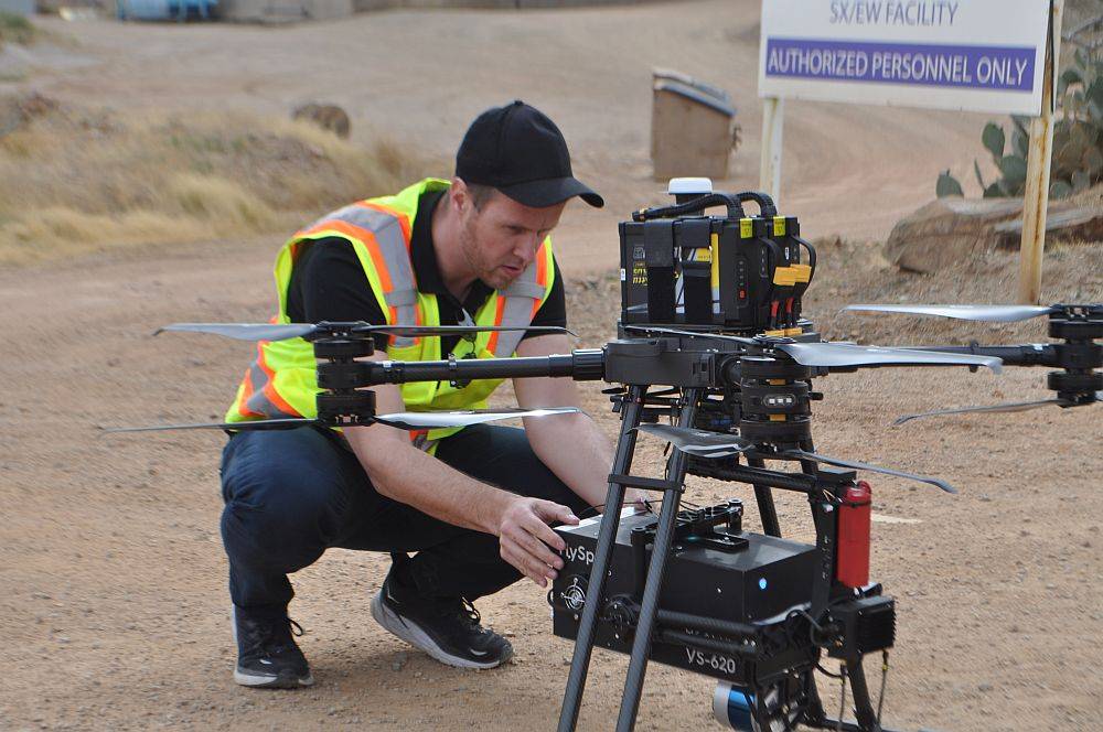
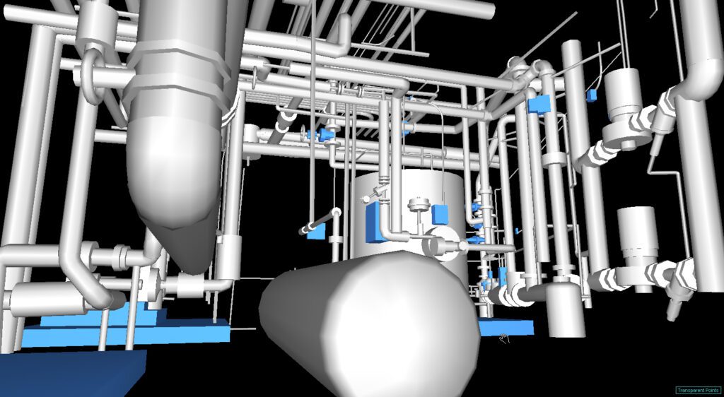
Modern aerial LiDAR equipment mounted on UAVs makes possible the collection of high resolution elevation data used to create 3D models of objects, detailed Digital Terrain Models (DTMs), and Digital Elevation Models (DEMs).
Read More