Archive for January 2023
Slope Performance Monitoring, Professional Development Course, UA GCE
This course is based on the “Large Open Pit Guidelines” book, and adds additional and updated material for slope performance monitoring, system design, and data analysis. This course also include case studies of slope monitoring challenges and solutions in open pit mines.
Read MoreFast, Affordable 3D Drone Surveying Leaves Traditional Methods in the Dust
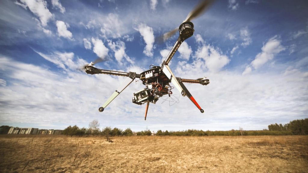
If time is money–and many argue that it is–then 3D drone surveying delivers a resounding mic drop. Traditional surveying and drone surveying are not even in the same ballpark when it comes to the amount of time it takes to complete a survey. The slowness of traditional surveying methods can contribute to costs running into the thousands of dollars for a single small acreage topographical map.
Read MoreTucson after5: Tech Showcase

Join us when we host this Arizona Technology Council Tucson after5 Tech Showcase with live demonstrations of the latest technological advances in LiDAR and 3D scanning, drone mapping, hyperspectral imaging and more!
Read MoreImprove Safety and Increase Profits with 3D Underground Surveying
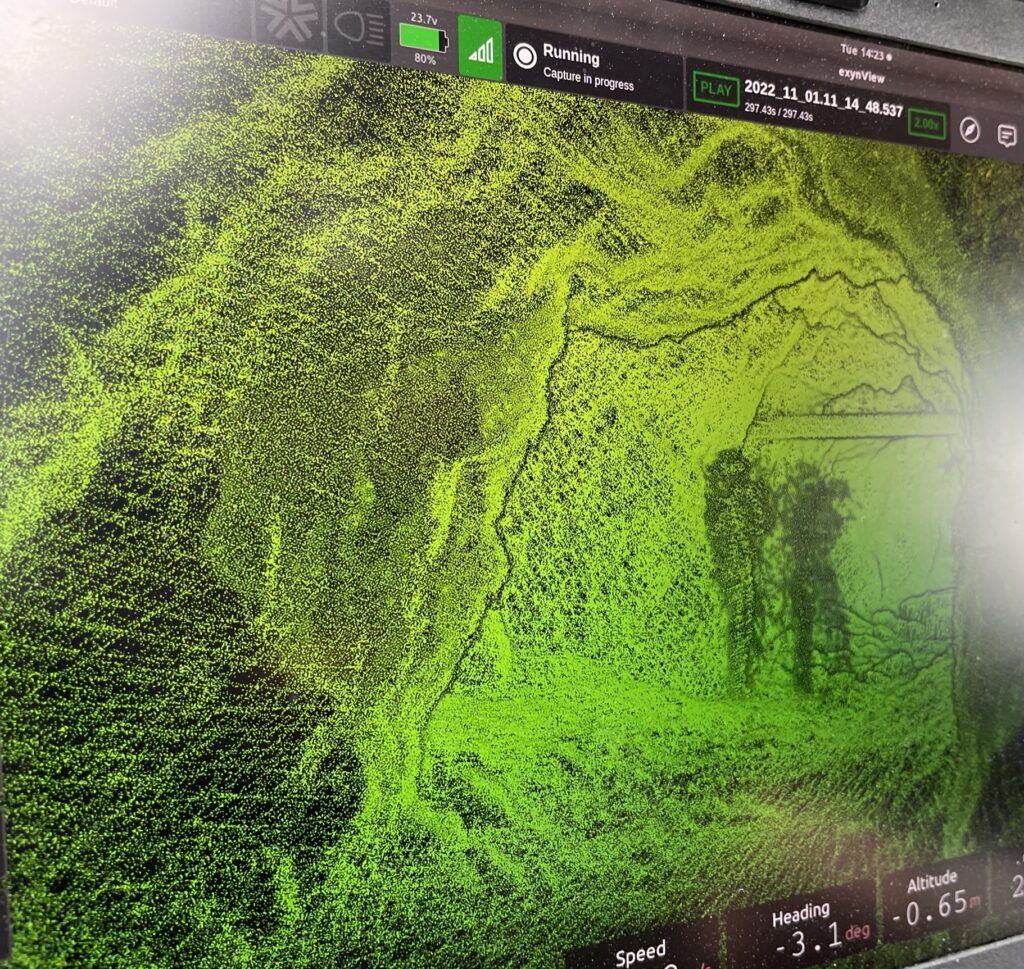
Before advances in underground surveying using 3D scanning technology, inspecting and mapping subsurface facilities was time-consuming, costly, and hazardous. Surveying mines is notoriously tricky, but today’s LiDAR, photogrammetry, and georeferencing tools paired with state-of-the-art software are capable of producing a phenomenal array of maps and models designed to tackle almost any underground conundrum in near real-time. Watching a video of a 3D tunnel scan is mesmerizing.
Read More