Archive for April 2023
Future Trends and Challenges in 3D Laser Scanning and Modeling
3D mapping and modeling, which are accomplished using point clouds of data collected by laser scanner, have come very far very fast. Anyone around in the infancy of laser scanning can recall how large, heavy, and slow the equipment was. Once the technology became more efficient, affordable and widely available, however, there seemed to be no limit to its uses.
Read MoreAs-Built Point Cloud Scans Enable Accurate Record Keeping
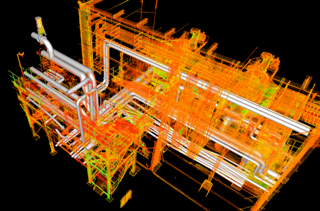
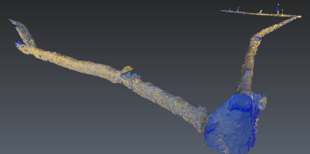
LiDAR created 3D maps and models are made up of individual data points. A point cloud is a massive collection of virtual data points, with each one representing actual points in the real world. These millions of individual data points, taken together, create a usable dataset. Using software to model physical objects in digital space makes point clouds imminently useful.
Read MoreAUVSI XPONENTIAL 2023

Visit us in Booth 4633 in the Arizona Pavilion to talk to registered land surveyors that are also FAA licensed remote pilots. Learn why ground control targets are still important for professional QA/QC and georeferenced deliveries to engineers.
Read More