Archive for February 2019
Drone Topographic Mapping Fills the Efficiency Gap
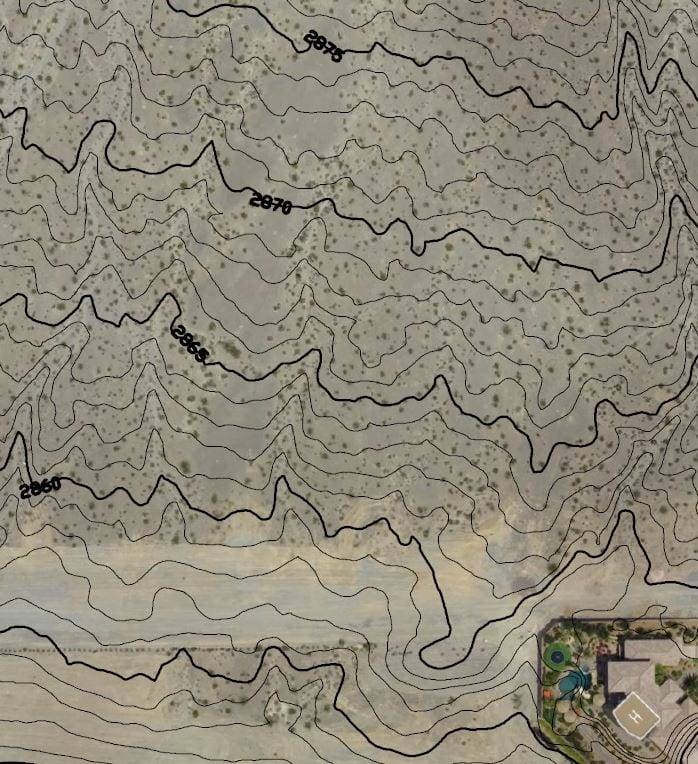
Does your project success depend on accurate ground characteristics? Professional engineering quality topographic maps reduce risk and uncertainty by accurately depicting slopes, undulations, water flow and hazards necessary to design and planning. Drones supplement ground crews and replace manned aircraft, reducing time and cutting costs of producing topographic maps.
Read More