Blog
Top FAQs About Drone Surveying – Darling Geomatics
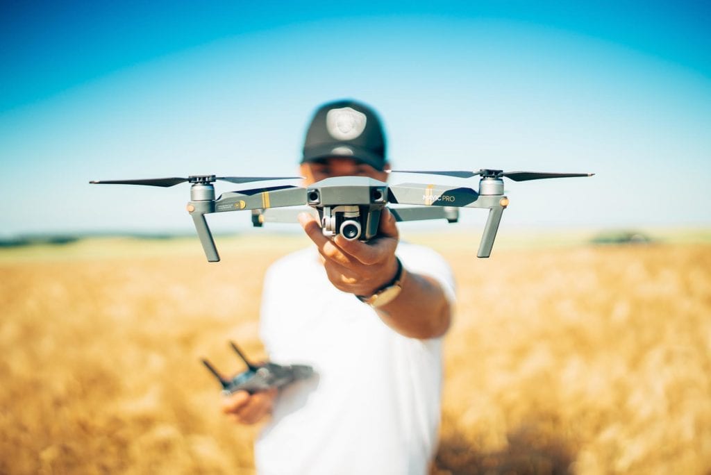
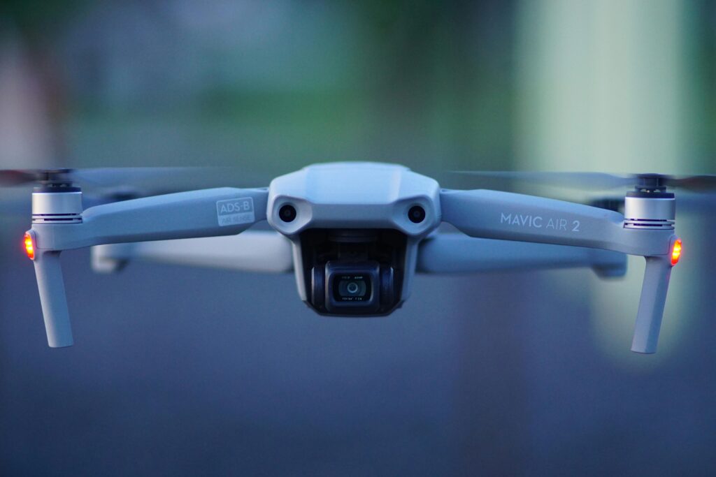
Drone Surveying FAQs: Everything You’ve Wanted to Ask (But Didn’t Know Who to Ask) Drone surveying is revolutionizing the world of geospatial data collection, but for many engineers, developers, and project managers, it remains a mystery. In this blog, we tackle the most frequently asked questions about drone surveying — the ones people hesitate to…
Read MoreThe Importance of Accurate Land Surveys in Arizona’s Mining Industry
The Importance of Accurate Land Surveys in Arizona’s Mining Industry Mining has been a cornerstone of Arizona’s economy for over a century, producing copper, gold, silver, and a range of other minerals critical to industries worldwide. But behind every successful mining operation is a foundation of precise, detailed land surveying. At Darling Geomatics, we understand…
Read MoreWhat is the difference between Hyperspectral Imaging and LiDAR?
What is the difference between Hyperspectral Imaging and LiDAR? If you’ve ever dipped a toe into the world of remote sensing, you’ve probably heard a lot about hyperspectral imaging and LiDAR. Both technologies are indispensable in modern geospatial work, but they’re often misunderstood or lumped together. At Darling Geomatics, we use both technologies extensively—sometimes independently,…
Read MoreThe Future of Reality Capture: How LiDAR Scans and 3D Scanning are Transforming Industries
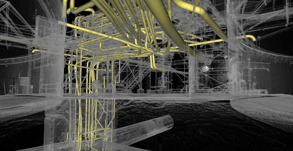
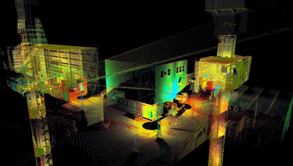
The Future of Reality Capture: How LiDAR Scans and 3D Scanning are Transforming Industries In recent years, the advancement of LiDAR systems and 3D scanning technology has revolutionized several industries by providing highly accurate, high-resolution data and models. LiDAR, which stands for Light Detection and Ranging, utilizes laser light to measure distances and generate detailed…
Read MoreSeeing Below the Surface: How 3D Laser Scanning is Revolutionizing Mine Surveying
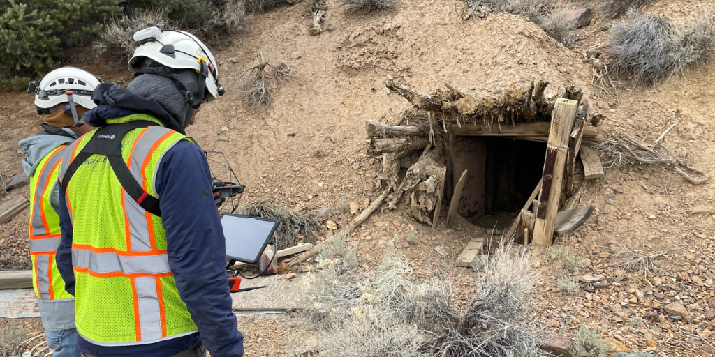
Seeing Below the Surface: How 3D Laser Scanning is Revolutionizing Mine Surveying Let’s talk about something exciting that’s transforming the mining industry: 3D laser scanning technology. If you’re involved in mining operations, you know how crucial it is to understand both your surface and underground environments. What if I told you there’s a way to…
Read MoreNext-Generation Underground Mapping: LiDAR Applications in Complex Mine Networks
Next-Generation Underground Mapping: LiDAR Applications in Complex Mine Networks The evolution of underground mapping technology has transformed how we understand and navigate complex mine networks. Through the integration of LiDAR (Light Detection and Ranging) technology, geological surveys have reached unprecedented levels of accuracy and detail, revolutionizing how we approach underground mine mapping projects. The Power…
Read MoreFrom Depths to Data: Remarkable Drone LiDAR Triumphs in Mining Exploration
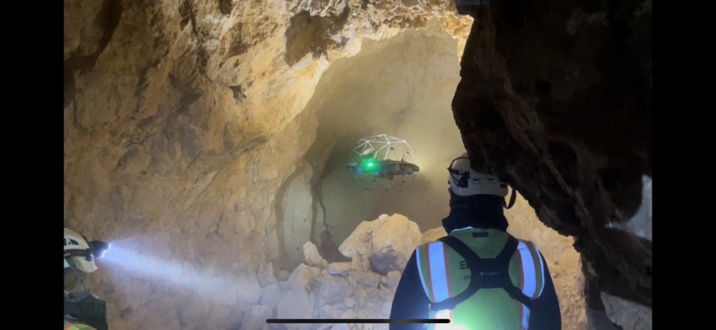
From Depths to Data: Remarkable Drone LiDAR Triumphs in Mining Exploration Underground mine surveying, exploration, inspection and monitoring have become faster, safer, more efficient, and less intrusive since drone LiDAR (3D laser scanning) entered the picture. With remotely piloted drones, many of the traditional challenges faced by the mining industry have evaporated. There are many…
Read MoreDigital Twins, LiDAR Scanning, and AI: A Powerful Combination for Industry 4.0
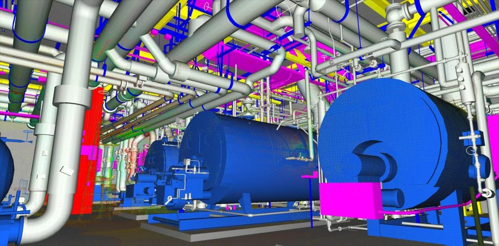
Discover how digital twins—virtual representations of real-world objects or processes—provide risk-free environments for simulation, monitoring, and predictive capabilities across industries like construction, manufacturing, transportation, mining, and healthcare.
Read MoreFrom Aerial to AI: How AI-Driven Drones Are Enhancing Survey Accuracy in 2024
From Aerial to AI: How AI-Driven Drones Are Enhancing Survey Accuracy in 2024 What AI Brings to Surveying If you thought drones were an exciting advancement in surveying, hold on to your hats–AI is upping the capabilities of both data capture and processing. Driving greater precision and greater analytic capability, and more informed decision making,…
Read MoreThe Future of Metrology: How AI and Advanced Technologies are Revolutionizing Precision Measurement
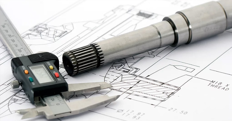
The Future of Metrology: How AI and Advanced Technologies are Revolutionizing Precision Measurement What would you say to implementing metrology technology that could: Boost precision? Enable better quality control and consistency? Provide continuous monitoring capable of responding immediately to abnormalities? Bring more data to uncertainty analysis? Automate inspections? Offer predictive analytics that anticipate machinery breakdowns…
Read More
