Archive for March 2022
7 Facts About 3D Aerial Mapping with Drones

A lot of terms relating to modern surveying technology get muddled: 3D drone scanning, LiDAR scanning, UAV surveying, photogrammetry, etc.
Read MoreDarling Geomatics Teaches GPS Applications at SAQF Family Day Event
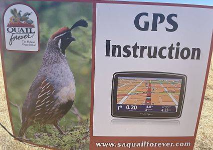
Mary Darling and Rich Darling taught local youth and adult teams on the basics of GPS applications and how they can be applied real time in the field at the annual SAQF Family Day.
Read MoreAUVSI XPONENTIAL 2022
Visit us in Booth 1055 in the Arizona Pavilion to learn about our high tech UAV surveying and mapping services including specialized sensor technologies: radiometric, hyperspectral, gravimetric, magnetometric, electro-magnetic and ground penetrating radar. Also learn about our conventional land surveying, terrestrial LiDAR, 3D modeling, BIM, digital twins, and DTM expertise.
Read MoreDarling Geomatics Participates in High School Career Expo
Darling Geomatics is exhibiting at Tucson International Academy’s 11th Annual Career Expo to share insights and experience with students about exciting careers as high tech surveyors who use leading-edge technologies outdoors in the field. 250 students in grades 8 through 12 from Tucson International Academy’s four campuses will attend.
Read More