Archive for October 2020
UAV Photogrammetry: Precision Surveying, Mapping, and 3D Modeling
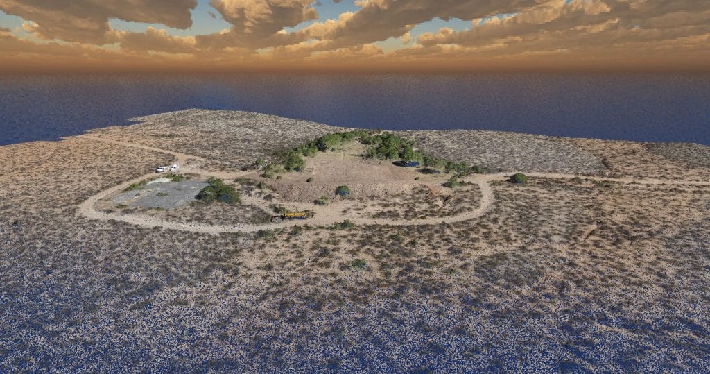
UAV photogrammetry uses the principles of triangulation to turn 2D photographic images taken by a pilotless aircraft into precise, 3D representations, such as maps and models.
Read More