Archive for December 2021
LiDAR Explained
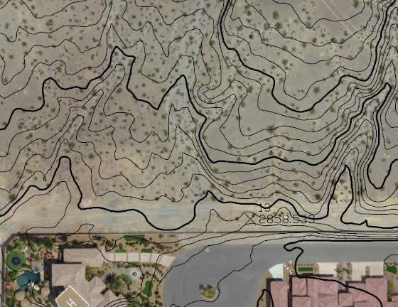
After much waiting, LiDAR’s day has finally come, and we have an array of software platforms powerful enough to handle the huge amounts of data generated by LiDAR scans.
Read More
After much waiting, LiDAR’s day has finally come, and we have an array of software platforms powerful enough to handle the huge amounts of data generated by LiDAR scans.
Read More