Archive for December 2025
Creating Accurate Digital Twins with LiDAR Scanning: A Step-by-Step Guide
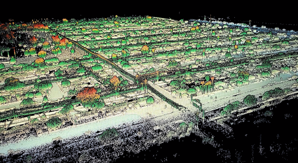
Creating Accurate Digital Twins with LiDAR Scanning: A Step-by-Step Guide A digital twin is more than a 3D model. It’s a living, data-rich replica of a physical asset that supports real-time decision-making, predictive maintenance, and operational planning. The foundation of any useful digital twin is accurate geometry, and that’s where LiDAR scanning comes in. LiDAR…
Read More