Posts by Mary Darling
Energy Audits and Building Inspections Using Drones
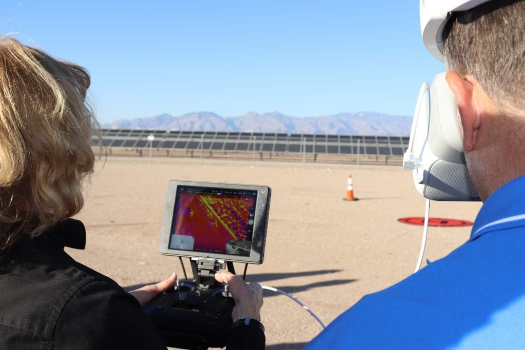
Energy Audits and Building Inspections Using Drones Do you wonder why your heating and air conditioning bills are high? Our energy audits use infrared thermal imaging from a drone to provide facility owners with accurate, actionable information to correct energy loss, imbalances, and inefficiencies. Do you worry about the condition of your roof after storms?…
Read MoreDrone Surveys for 3D Flood Simulations
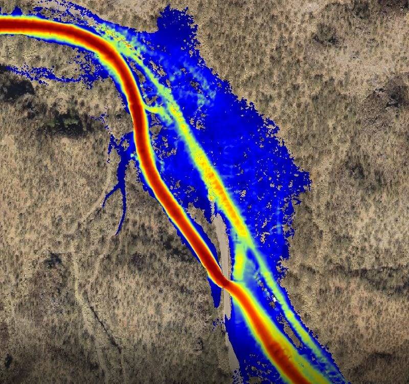
Drone Surveys for 3D Flood Simulations Our drone surveying and mapping services provide surveying and mapping services provide hydrologists, engineers and others with accurate digital data for flood stage calculations, topographical maps, and 3D visualizations, reducing the risk of design errors, lowering project costs and improving safety: High-flow simulations: 3D digital data is used for high-flow…
Read MoreVerify 100% of Construction in Fraction of the Time and in 3D
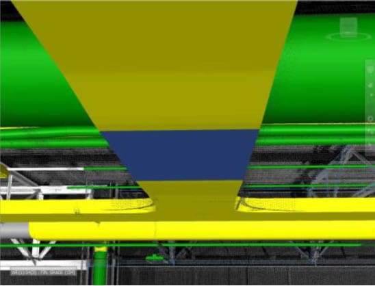
Verify 100% of Construction in Fraction of the Time and in 3D See how this manufacturing plant owner found out exactly where and how much their final construction differed from their design plan. Advances in 3D scanning technology and data analysis software have set a new standard in intelligence for facility owners, architects, engineers and contractors. We…
Read More


