Posts by Mary Darling
IEEE Tucson Section Presentation

Our CEO Mary Darling and Alex Dely, Contract Manager, Raytheon Missile Systems, will present “Reliability Engineering in Autonomous Systems for Precision Agriculture, Hydrology, Carbon Sequestration and Mining” at the IEEE Tucson meting on September 28, 6:30 pm.
Read MoreSociety of American Military Engineers Presentation
Our CEO Mary Darling and Alex Dely, Contract Manager, Raytheon Missile Systems, will present Electric Storage Technologies.
Read MoreAUVSI XPONENTIAL Arizona Pavilion
Visit us in Arizona Pavillion Booth 1823 to learn about our high tech UAV surveying and mapping services including specialized sensor technologies: radiometric, hyperspectral, gravimetric, magnetometric, electro-magnetic and ground penetrating radar. Also learn about our conventional land surveying, terrestrial LiDAR, 3D modeling, BIM, digital twins, and DTM expertise.
Read MoreGeneral Contractors Expo
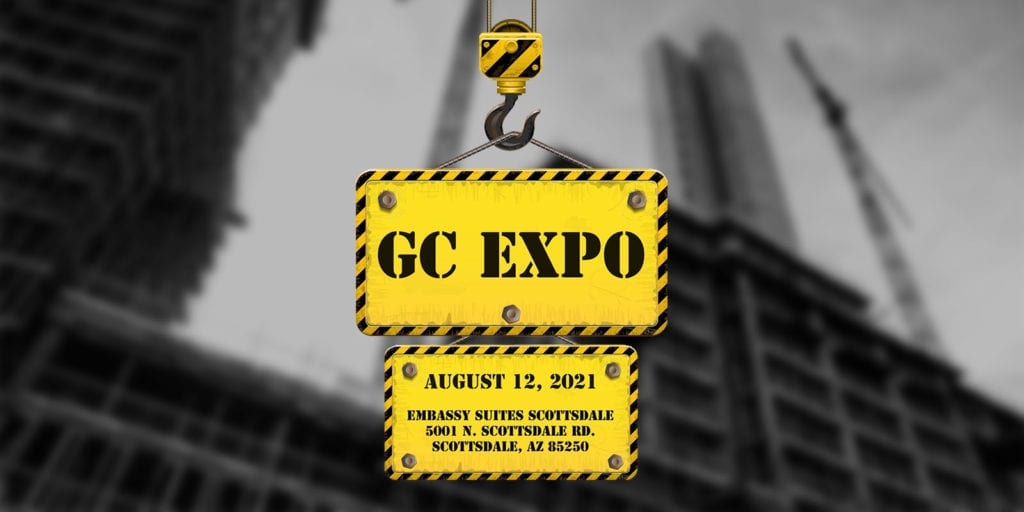
Visit us at the GC Expo to learn about our high-tech UAV surveying and mapping, 3D modeling, BIM, digital twins, and conventional land surveying expertise for your next project or for construction verification.
Read MoreDarling Geomatics Sponsors Southern Arizona Society of American Military Engineers Annual Scholarship Fundraiser

Darling Geomatics is a sponsor of the Southern Arizona SAME Annual Scholarship Fundraiser golf tournament on May 14, 2021.
Read MoreMary Darling to Present at Arizona’s SheTech Explorer Day

Mary Darling to Present at Arizona’s SheTech Explorer Day Mary Darling, CEO of Darling Geomatics, will be presenting a demonstration of high tech digital data collection with drones and LiDAR to high school age girls that are interested in STEM curricula at SheTech Explorer Day Arizona on April 22, 2021. As a woman-owned business in…
Read MoreSheTech Explorer Day
City of Tucson Office of Economic Initiatives, Pima Community College, UA Tech Parks Arizona, and Optics Valley SheTech Explorer Day SheTech Explorer Day – Arizona SheTech is a one-day event for high school girls that features hands-on activities in science, technology, engineering, and math (STEM) alongside women professionals from a variety of backgrounds and industries.…
Read MoreDarling Geomatics Wins Contract to Provide High Tech Forensic Assessments Using Drones and LiDAR
Darling Geomatics Wins Contract to Provide High Tech Forensic Assessments Using Drones and LiDAR We have been selected by a national forensics company to provide our drone survey and LiDAR scanning expertise to produce digital maps and models used in exhibits for the accident and criminal investigations throughout the southwest US for five years. “The 3D…
Read More3D Scanning of Underground Infrastructure
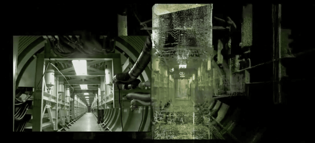
3D scanning by Darling Geomatics provides a precise digital twin of service tunnels, underground utility corridors, shafts, and other subsurface infrastructure used for mapping, planning, clash detection, change detection and safety inspections
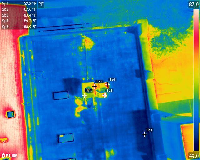
Read MoreUAV Photogrammetry: Precision Surveying, Mapping, and 3D Modeling
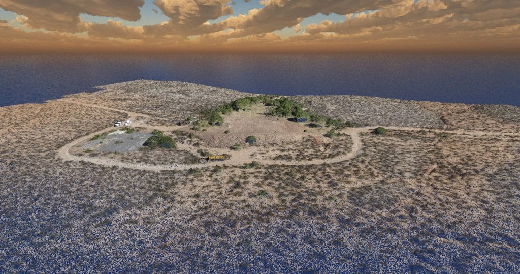
UAV photogrammetry uses the principles of triangulation to turn 2D photographic images taken by a pilotless aircraft into precise, 3D representations, such as maps and models.
Read More