Posts by Nancy Roth
Multispectral and Hyperspectral UAS Data Collection and Uses
Darling Geomatics will be conducting live demonstrations at the Arizona Geographic Information Council (AGIC) UAS Workgroup fly-in seminar co-hosted with Westland Resources. Registration is required. There is no cost to register in person or online.
Read MoreExperts in Drone Safety
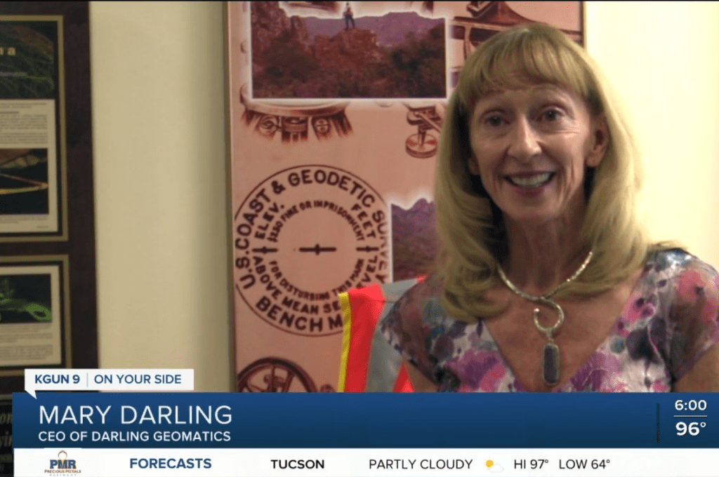
When it comes to operating drones safely, rely on the experts at Darling Geomatics! KGUN9 News in Southern Arizona interviews our CEO Mary Darling about drone safety. Pilots conduct a preflight check and so should engineers, developers, planners, construction and facilities managers before contracting for drone surveying…
Read More

