Posts by Mary Darling
Cutting-edge Metrology Sparks Innovation

Cutting-edge Metrology Sparks Innovation Metrology – the scientific study of measurement – has been around a long time. The first known attempt at creating a standard of measure came nearly 5,000 years ago in Egypt. The unit of measure, called a cubit, was modeled in black granite based on the length of Pharaoh’s forearm and…
Read MoreStaking Claims on Federal and Private Lands
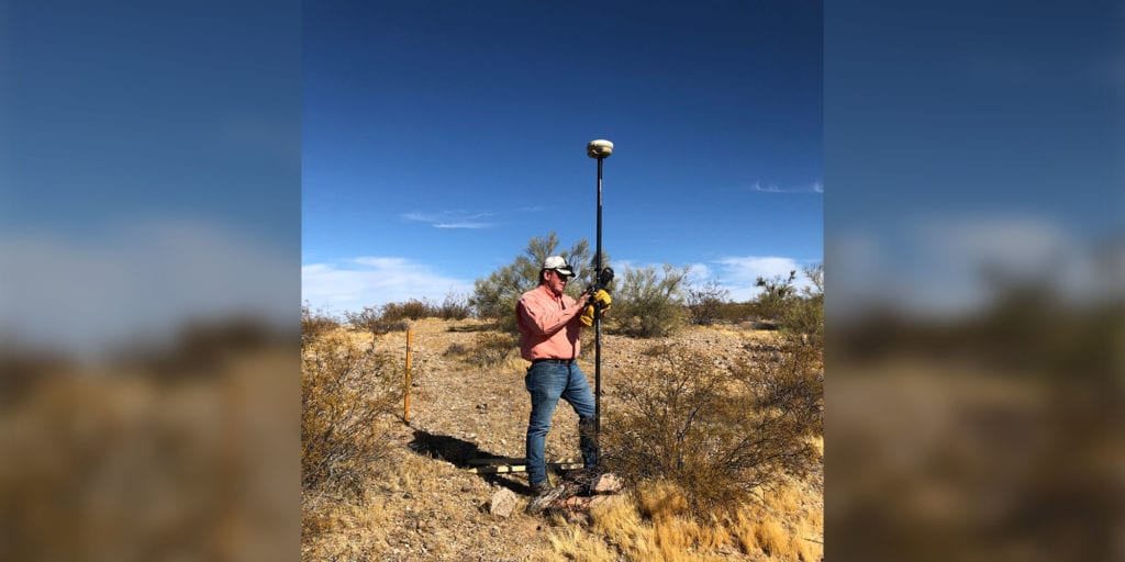
Staking Claims on Federal and Private Lands When most people hear the term “staking a claim,” their minds go back to their 4th grade history lesson about the California Gold Rush from 1848-1855. They recall images of grizzled miners crouched over a stream panning for gold, actively working their claim. Staking mining claims is not…
Read MoreDiscover the 6 Secrets Contained in an As-Built Survey
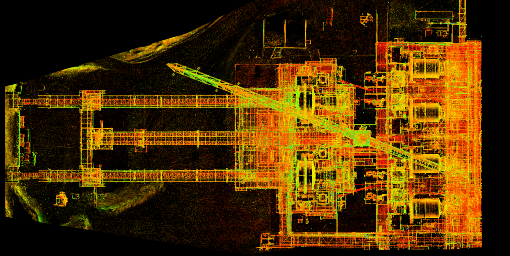
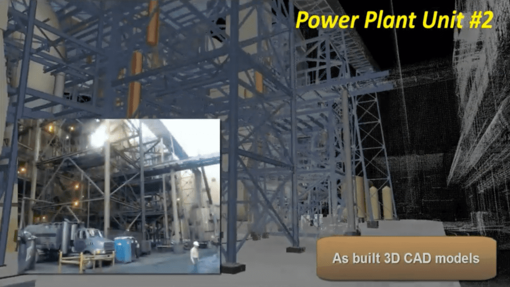
6 Surprising Secrets of As-Built Surveys No matter how meticulously a construction project is planned, no matter how detailed the blueprints and no matter how prepared the builder and subcontractors are, there’s one thing you can always count on — changes to the original drawings as work progresses. According to IBISWorld, the U.S. surveying and…
Read MoreHow an ALTA Survey Can Help You Avoid Legal Disputes and Liabilities
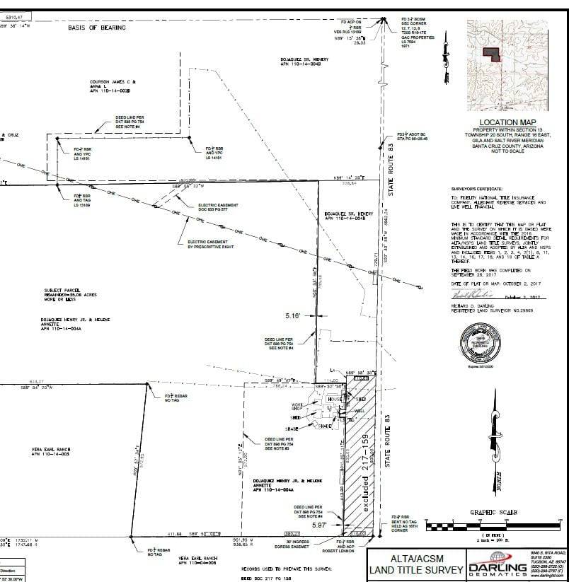
How an ALTA Survey Can Help You Avoid Legal Disputes and Liabilities When conducting a commercial property transaction, an American Land Title Association survey (ALTA) will likely be required by the lender or title company or suggested by your attorney. In most cases, title insurance cannot be obtained without an ALTA survey. Far more accurate…
Read MoreWhat is the difference between UAV, UAS and uncrewed drone technology?
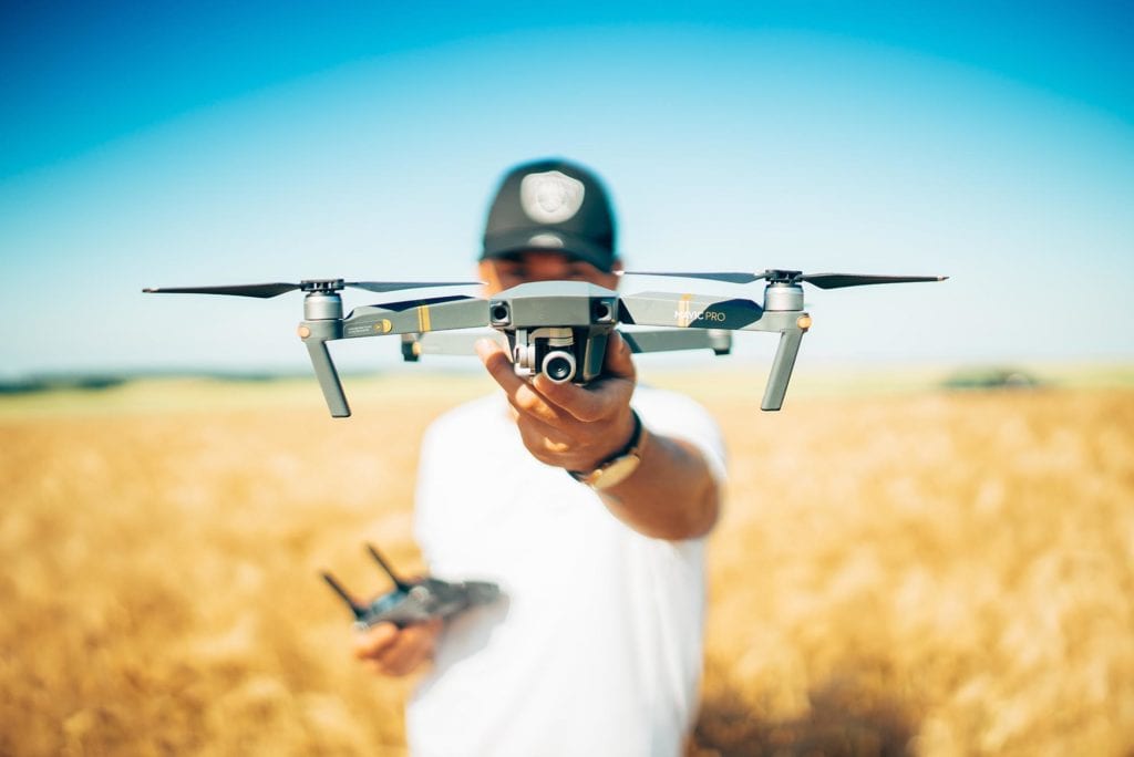
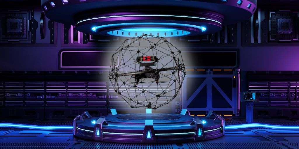
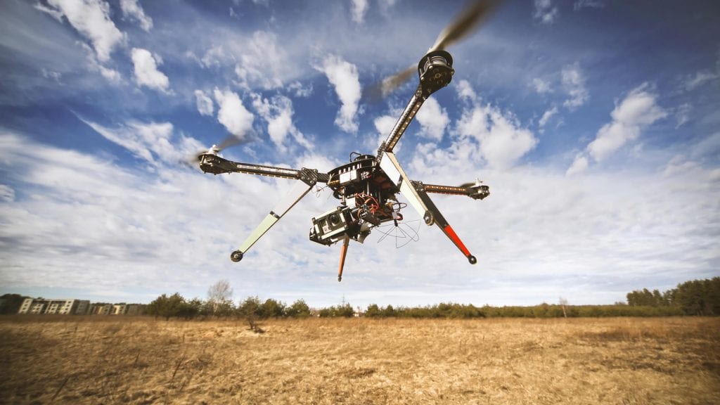
What is the difference between UAV, UAS and uncrewed drone technology? UAV, UAS, uncrewed, unmanned, drone…the lexicon surrounding small, pilotless aircraft can get confusing. Do all those terms refer to the same thing? If not, what distinguishes one from another? How is a drone different from a UAV? What is the difference between uncrewed and…
Read MoreHow AI is Transforming the Construction Industry: Trends, Benefits, and Challenges
How AI is Transforming the Construction Industry: Trends, Benefits, and Challenges Artificial Intelligence (AI) is rapidly changing the construction industry, and the possibilities and mind boggling. Starting with the design process and ending with a built environment’s decommissioning, AI is playing increasingly vital roles in achieving collaboration and connectivity in construction through the full life…
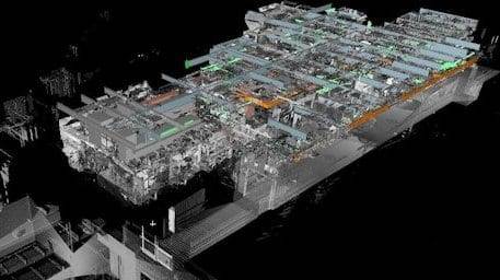
Read MoreDigital Twins Deliver Data-Driven Results
Digital Twins Deliver Data-Driven Results Combining laser scanning, 3D modeling, and AI provides revolutionary efficiencies and innovations never before possible. Highly versatile digital twin solutions are a must for many applications and industries. The extreme versatility of laser scanning and 3D modeling, combined with AI to create “smart” digital twins makes this technology ideal for…
Read MoreUnlocking the Potential of Digital Twins: How They Revolutionize Industries
Digital Twins have been around for a little over two decades, but today’s digital twins can employ AI and machine learning, setting them apart from earlier virtual modeling capabilities. They are complex virtual representations built from multiple data sources such as processes, people, devices, and mechanical systems. Digital twins represent not just one process but an entire organization.
Read MoreHow to Choose the Best Aerial Survey Company for Your Project
How to Choose the Best Aerial Survey Company for Your Project For anyone new to thermal imaging, it has been a game changer for so many industries and fields. Thermal imaging, at its most basic, is the visual representation of infrared radiation–or heat–put off by something, be it organic or inorganic. If an object or…
Read MoreHow Thermal Imaging Can Save You Money and Energy in Your Construction Projects
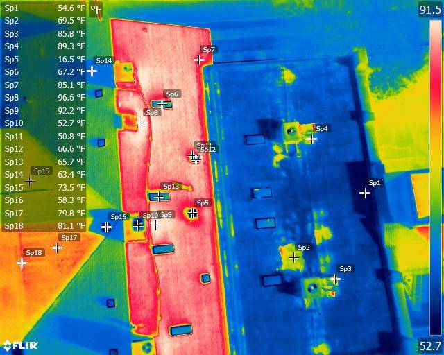
How Thermal Imaging Can Save You Money and Energy in Your Construction Projects Drone thermography plays so many roles in the construction industry. Combining UAV and infrared (IR) capabilities, the technology can be used to: inspect work monitor and maintain systems diagnose problems early assess and help improve energy efficiency verify proper installation of mechanical…
Read More