Posts Tagged ‘lidar’
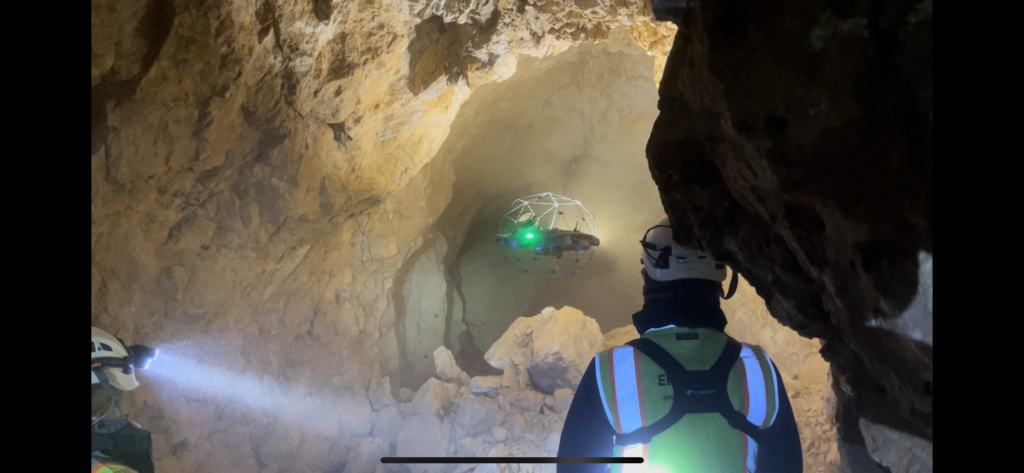
Next-Generation Underground Mapping: LiDAR Applications in Complex Mine Networks
Next-Generation Underground Mapping: LiDAR Applications in Complex Mine Networks The evolution of underground mapping technology has transformed how we understand and navigate complex mine networks. Through the integration of LiDAR (Light Detection and Ranging) technology, geological surveys have reached unprecedented levels of accuracy and detail, revolutionizing how we approach underground mine mapping projects. The Power…
Read More
