Archive for February 2020
3D Mine Mapping: Complete Surface to Subsurface Digital Twin
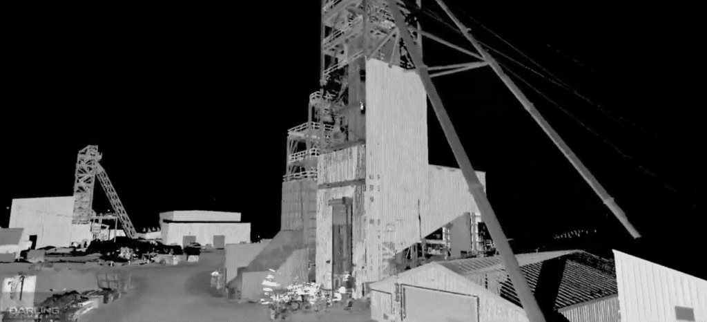
Mine Mapping Services: Survey-Grade 3D Data from Surface to Underground Mine mapping has transformed how the mining industry captures, understands, and manages complex operations, from open-pit surfaces to the deepest underground workings. Watch our latest project video showcasing a complete 3D mine mapping engagement: beginning with an aerial LiDAR scan of the headframe, descending 1,700…
Read MoreSmart Engineering: Digital Twins Before Upgrades
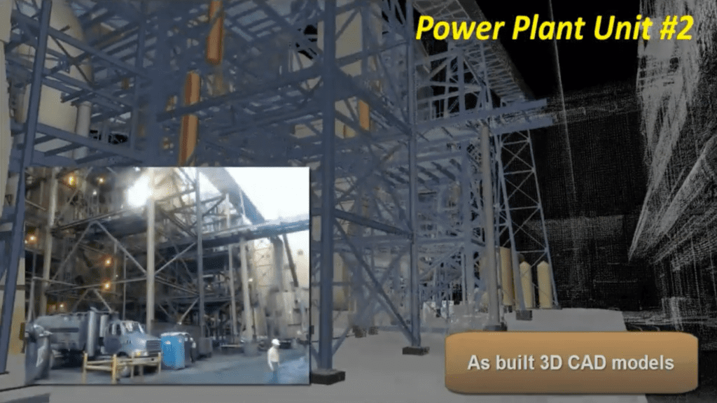
Smart Engineering: Digital Twins Before Upgrades 3D models of as-builts help power industry engineers modify and upgrade assets. Our 3D scanning services are safe, fast and accurate to produce digital twins of power plants, substations and other assets before upgrading, and to provide construction verification to spot check work as it progresses. Power companies trust…
Read More