Archive for May 2026
Point Cloud to BIM: A Step-by-Step Workflow Guide
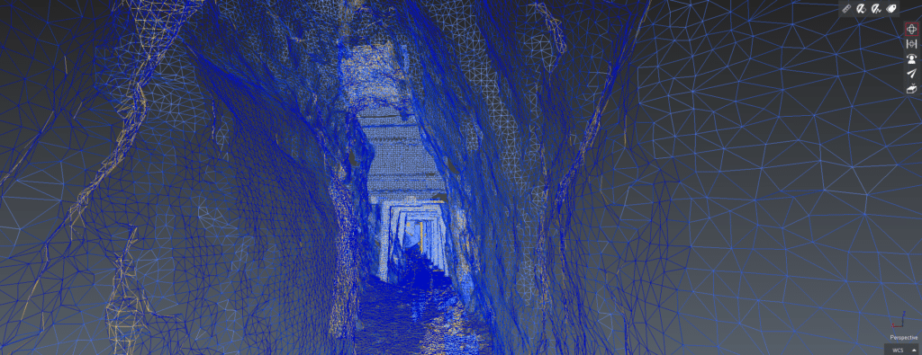
Point Cloud to BIM: A Step-by-Step Workflow Guide For anyone who has worked through a Scan to BIM project before, the workflow makes intuitive sense once you’ve seen it end to end. For teams evaluating it for the first time, the process can feel like a black box — you hand over site access, and…
Read MoreLiDAR vs. Photogrammetry: Which is Right for Your Construction Project?
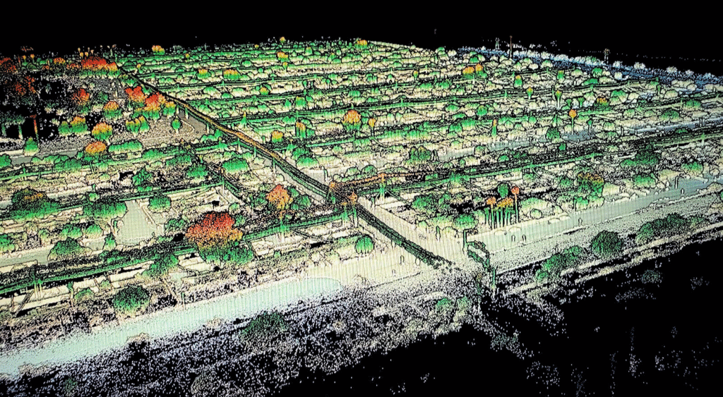
LiDAR vs. Photogrammetry: Which is Right for Your Construction Project? If you’ve started researching 3D scanning options for a construction project, you’ve probably encountered both terms. LiDAR and photogrammetry are the two most widely used technologies for capturing spatial data on construction sites, and at first glance they seem to do the same thing: fly…
Read More