Blog
Future Trends and Challenges in 3D Laser Scanning and Modeling
3D mapping and modeling, which are accomplished using point clouds of data collected by laser scanner, have come very far very fast. Anyone around in the infancy of laser scanning can recall how large, heavy, and slow the equipment was. Once the technology became more efficient, affordable and widely available, however, there seemed to be no limit to its uses.
Read MoreAs-Built Point Cloud Scans Enable Accurate Record Keeping
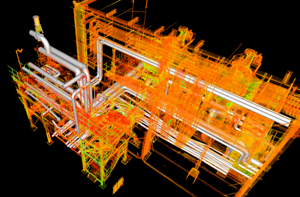
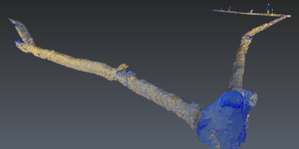
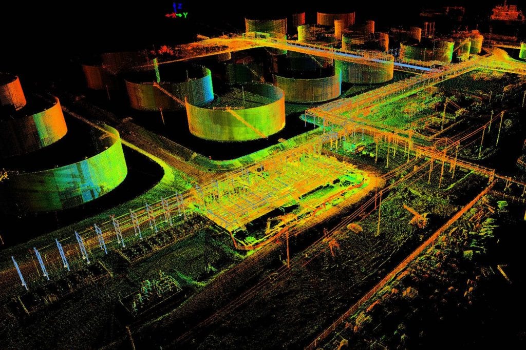
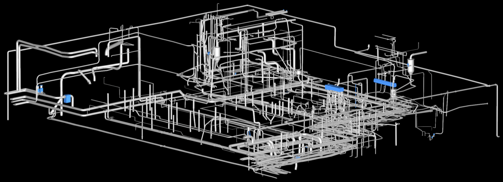
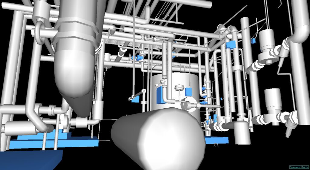
LiDAR created 3D maps and models are made up of individual data points. A point cloud is a massive collection of virtual data points, with each one representing actual points in the real world. These millions of individual data points, taken together, create a usable dataset. Using software to model physical objects in digital space makes point clouds imminently useful.
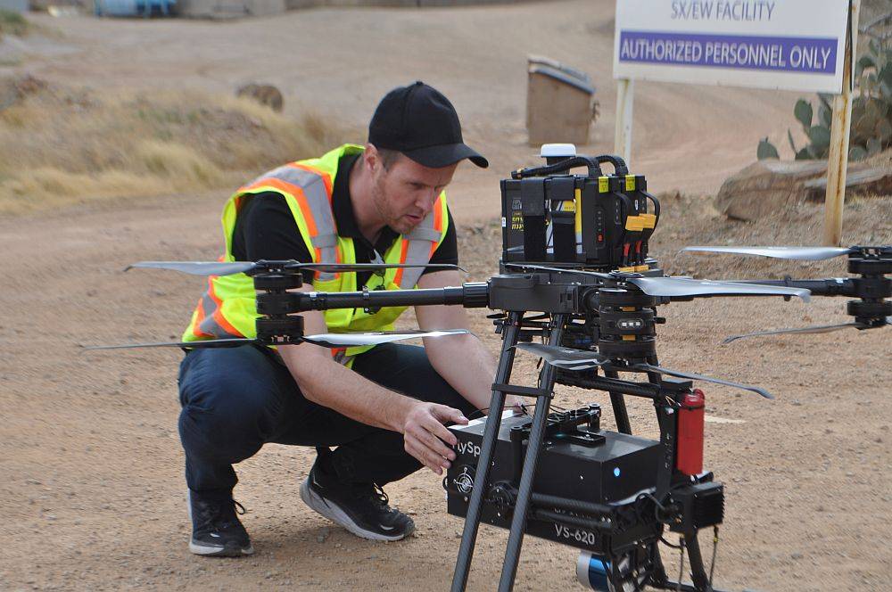
Read MoreFast, Affordable 3D Drone Surveying Leaves Traditional Methods in the Dust
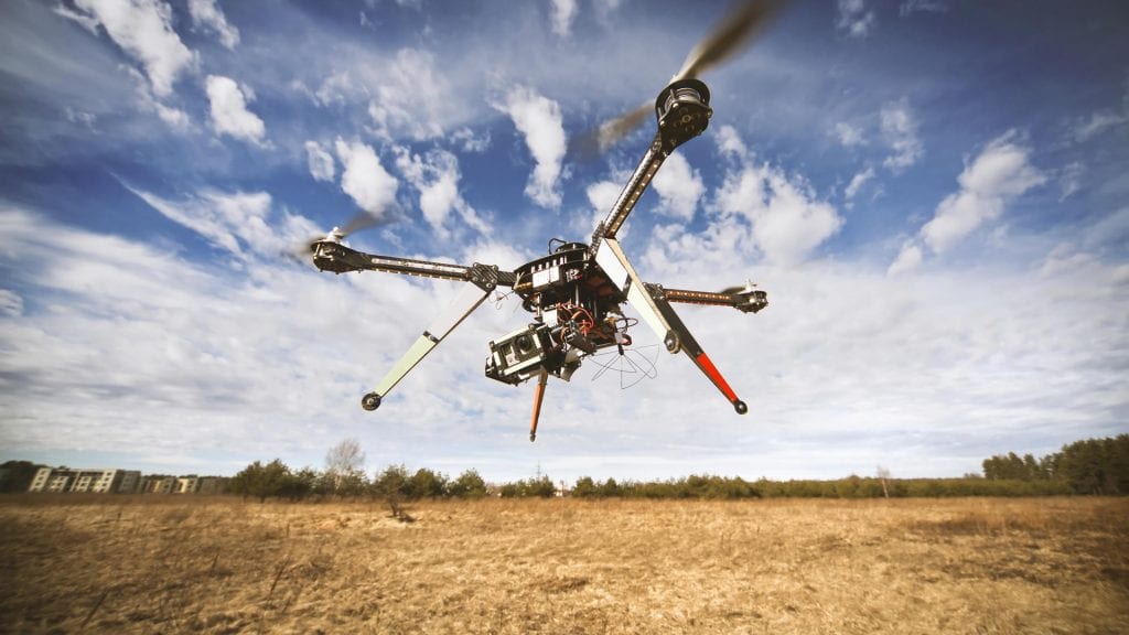
If time is money–and many argue that it is–then 3D drone surveying delivers a resounding mic drop. Traditional surveying and drone surveying are not even in the same ballpark when it comes to the amount of time it takes to complete a survey. The slowness of traditional surveying methods can contribute to costs running into the thousands of dollars for a single small acreage topographical map.
Read MoreImprove Safety and Increase Profits with 3D Underground Surveying
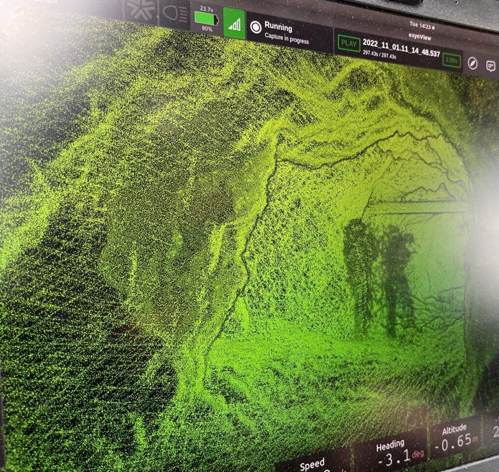
Before advances in underground surveying using 3D scanning technology, inspecting and mapping subsurface facilities was time-consuming, costly, and hazardous. Surveying mines is notoriously tricky, but today’s LiDAR, photogrammetry, and georeferencing tools paired with state-of-the-art software are capable of producing a phenomenal array of maps and models designed to tackle almost any underground conundrum in near real-time. Watching a video of a 3D tunnel scan is mesmerizing.
Read MoreWhat Is an As-Built Survey?
Exactly like the name sounds, an as-built survey is an accurate visual rendering showing a completed construction or engineering project. Today’s laser scanning makes the process fast, efficient, and affordable and will even save money in the long run. Cost reduction is so significant, in fact, the U.S. government General Services Administration (GSA) now requires building information models (BIM) to provide clash detection on every government construction project.
Read MoreThe Guide to Mine Surveying
Innovations in mine surveying made possible by state-of-the-art survey technologies have revolutionized mine design and development, environmental and safety monitoring, and volumetric calculation.
Read MoreGuide to Hyperspectral Imaging
Hyperspectral imaging, also known as imaging spectroscopy, refers to the gathering and processing of data from across the vast electromagnetic spectrum.
Read MoreWhen to Use Aerial LiDAR
Modern aerial LiDAR equipment mounted on UAVs makes possible the collection of high resolution elevation data used to create 3D models of objects, detailed Digital Terrain Models (DTMs), and Digital Elevation Models (DEMs).
Read MoreMary Darling Serves as Ambassador at Goldman Sachs Small Businesses Summit

Mary Darling, Darling Geomatics CEO and Principal Owner, will serve as an Arizona ambassador at Goldman Sachs 10,000 Small Businesses Summit to be held July 18-20 in Washington, D.C. The Summit will be the largest gathering of small business owners in the U.S.
Read More7 Facts About 3D Aerial Mapping with Drones

A lot of terms relating to modern surveying technology get muddled: 3D drone scanning, LiDAR scanning, UAV surveying, photogrammetry, etc.
Read More