Blog
From Depths to Data: Remarkable Drone LiDAR Triumphs in Mining Exploration
From Depths to Data: Remarkable Drone LiDAR Triumphs in Mining Exploration Underground mine surveying, exploration, inspection and monitoring have become faster, safer, more efficient, and less intrusive since drone LiDAR (3D laser scanning) entered the picture. With remotely piloted drones, many of the traditional challenges faced by the mining industry have evaporated. There are many…
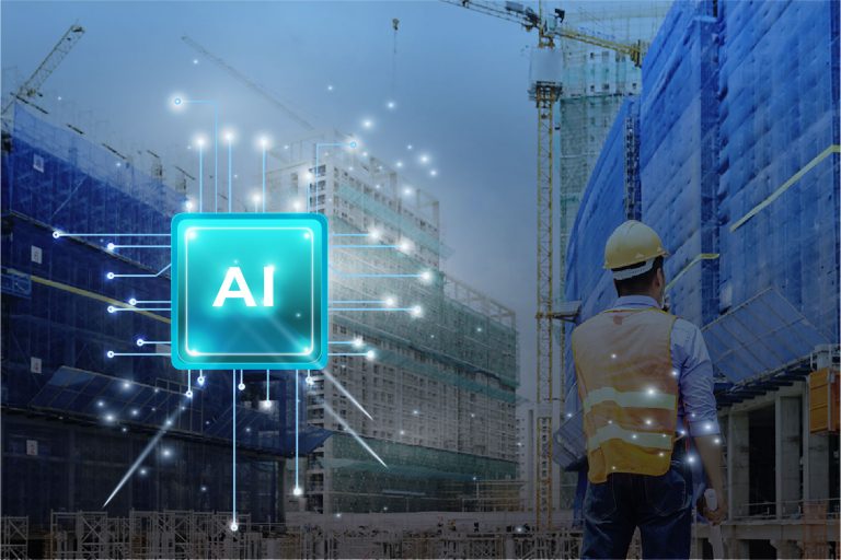
Read MoreDigital Twins, LiDAR Scanning, and AI: A Powerful Combination for Industry 4.0
Discover how digital twins—virtual representations of real-world objects or processes—provide risk-free environments for simulation, monitoring, and predictive capabilities across industries like construction, manufacturing, transportation, mining, and healthcare.
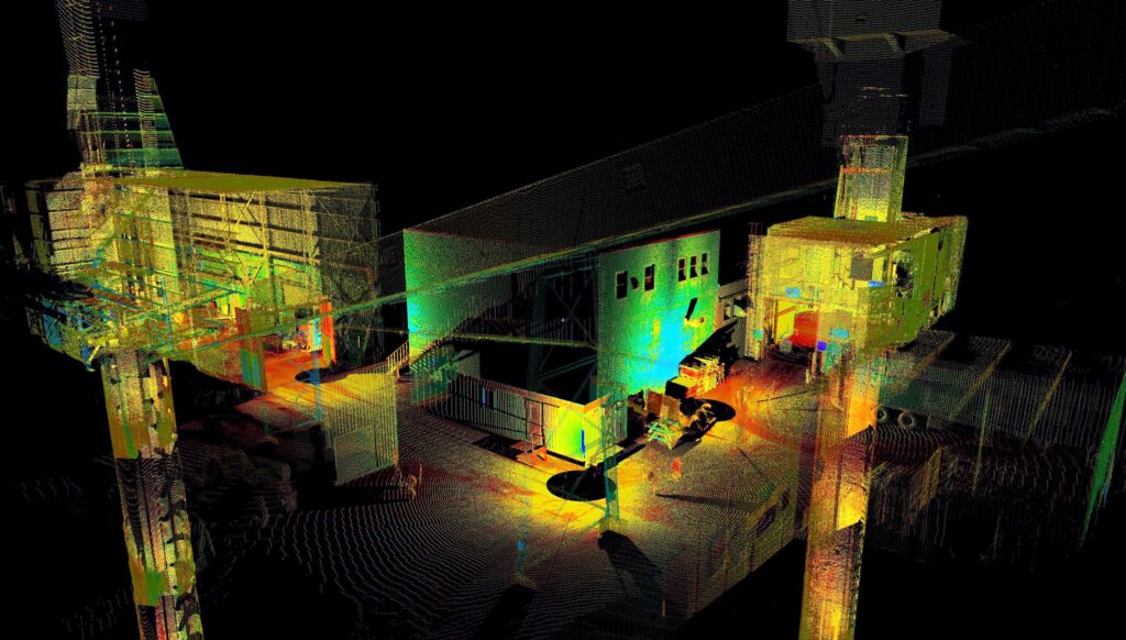
Read MoreFrom Aerial to AI: How AI-Driven Drones Are Enhancing Survey Accuracy in 2024
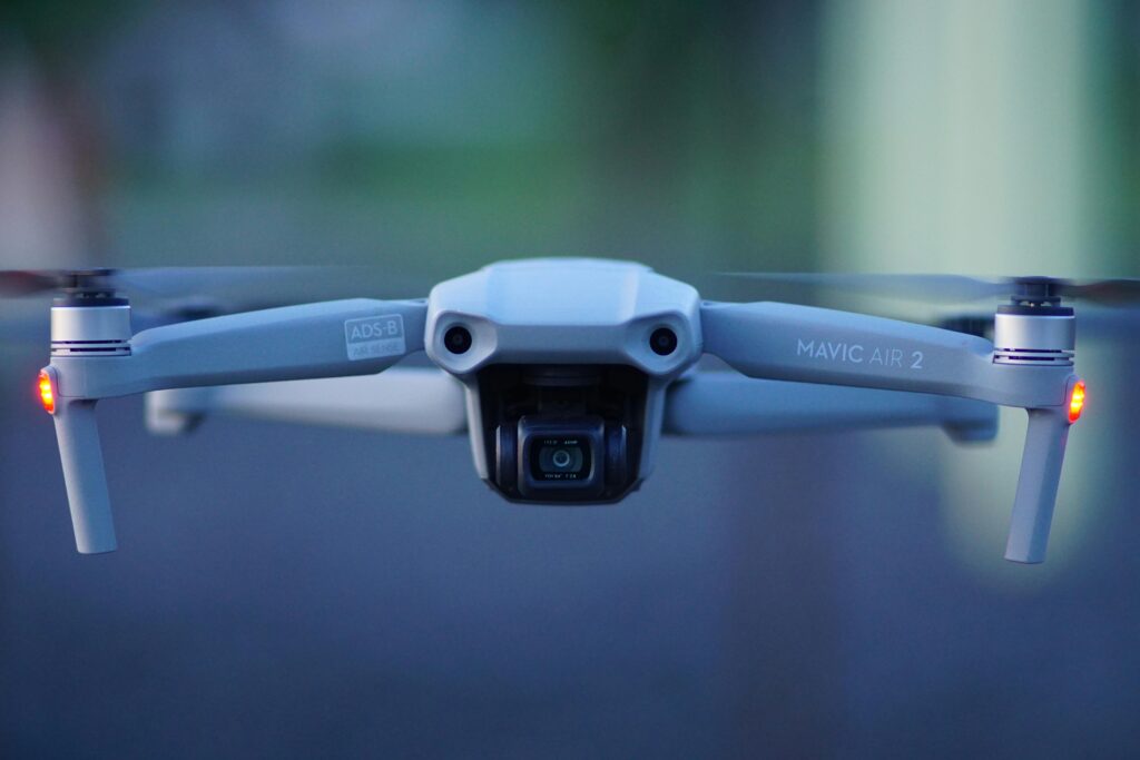
From Aerial to AI: How AI-Driven Drones Are Enhancing Survey Accuracy in 2024 What AI Brings to Surveying If you thought drones were an exciting advancement in surveying, hold on to your hats–AI is upping the capabilities of both data capture and processing. Driving greater precision and greater analytic capability, and more informed decision making,…
Read MoreThe Future of Metrology: How AI and Advanced Technologies are Revolutionizing Precision Measurement
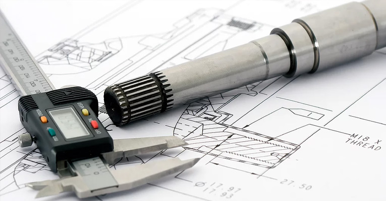
The Future of Metrology: How AI and Advanced Technologies are Revolutionizing Precision Measurement What would you say to implementing metrology technology that could: Boost precision? Enable better quality control and consistency? Provide continuous monitoring capable of responding immediately to abnormalities? Bring more data to uncertainty analysis? Automate inspections? Offer predictive analytics that anticipate machinery breakdowns…
Read MoreThe Future is Now: Revolutionizing Industry with Virtual Modeling and Digital Twins
The Future is Now: Revolutionizing Industry with Virtual Modeling and Digital Twins Digital twins are not new, but their potential has grown by leaps and bounds with the application of machine learning. Employing AI to digital twins to facilitate smart manufacturing was always just a matter of time; now that future is here. Digital twins–virtual…
Read MoreDigital Surface Modeling: How AI Converts 2D Images into 3D Insights
Digital Surface Modeling: How AI Converts 2D Images into 3D Insights Digital surface models (DSMs) are nothing new, but as software and scanning equipment have become more sophisticated so have DSM’s. Digital terrain maps have many engineering applications, of course. but other sectors, such as agriculture, energy, and conservation, are finding uses for them as…
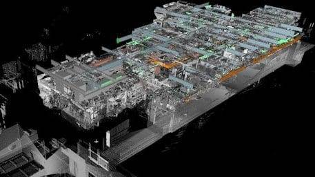
Read MoreCutting Edge in Mine Survey Technologies and Techniques
Cutting Edge in Mine Survey Technologies and Techniques Mine surveyors perform essential services. The data they glean helps plan work, make decisions, improve safety, and aid in mineral exploration. But ground-based surveying methods and manual calculation leave a lot to be desired. Slow and subject to human error, traditional mine surveys can take days or…
Read MoreCutting-edge Metrology Sparks Innovation

Cutting-edge Metrology Sparks Innovation Metrology – the scientific study of measurement – has been around a long time. The first known attempt at creating a standard of measure came nearly 5,000 years ago in Egypt. The unit of measure, called a cubit, was modeled in black granite based on the length of Pharaoh’s forearm and…
Read MoreStaking Claims on Federal and Private Lands
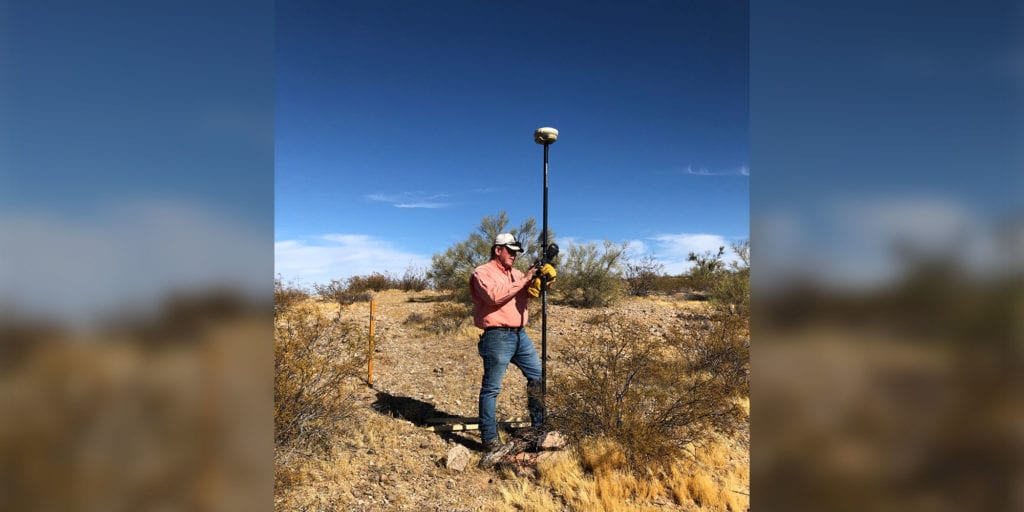
Staking Claims on Federal and Private Lands When most people hear the term “staking a claim,” their minds go back to their 4th grade history lesson about the California Gold Rush from 1848-1855. They recall images of grizzled miners crouched over a stream panning for gold, actively working their claim. Staking mining claims is not…
Read MoreDiscover the 6 Secrets Contained in an As-Built Survey
6 Surprising Secrets of As-Built Surveys No matter how meticulously a construction project is planned, no matter how detailed the blueprints and no matter how prepared the builder and subcontractors are, there’s one thing you can always count on — changes to the original drawings as work progresses. According to IBISWorld, the U.S. surveying and…
Read More