Blog
Darling Geomatics Teaches GPS Applications at SAQF Family Day Event
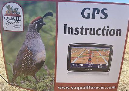
Mary Darling and Rich Darling taught local youth and adult teams on the basics of GPS applications and how they can be applied real time in the field at the annual SAQF Family Day.
Read MoreMary Darling Supports STEM for Girls at Arizona’s SheTech Explorer Day 2022

Mary Darling Supports STEM for Girls at Arizona’s SheTech Explorer Day 2022 Mary Darling, CEO of Darling Geomatics, will be demonstrating high tech digital data collection with LiDAR to high school age girls who are interested in STEM curricula at the 2022 SheTech Explorer Day on March 2, 2022. This is our third year of…
Read MoreLiDAR Explained
After much waiting, LiDAR’s day has finally come, and we have an array of software platforms powerful enough to handle the huge amounts of data generated by LiDAR scans.
Read MoreLand Surveying with Drones: Transforming Accuracy and Efficiency
Drones collect raw data, giving drone surveyors the opportunity to work with an unimaginable volume of images and measurements that can then be downloaded and used.
Read MoreLand Surveying Mistakes Can be Dangerous
Land surveying mistakes cause problems that reverberate for years to come, costing time, money, and peace of mind.
Read MoreDarling Geomatics Partners with Pima JTED to Train Drone Operators
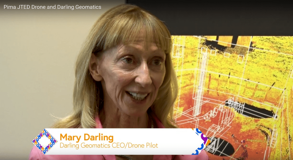
Darling Geomatics is proud to partner with Pima JTED and its Drone Program to respond to increased industry demand for drone operators. Watch the video!
Read MoreDarling Geomatics Soars into Summer 2021
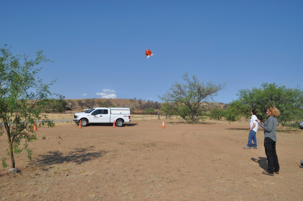
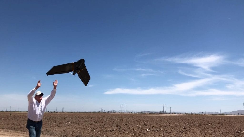
Darling Geomatics Soars into Summer 2021 While others wilted from the summer heat, Darling Geomatics roared into summer 2021, and the news is all sunny. First, the acquisition of a new high tech vertical take-off and landing (VTOL) fixed-wing drone has pilots and customers buzzing. Because this type of drone can go straight up and…
Read MoreExperts in Drone Safety
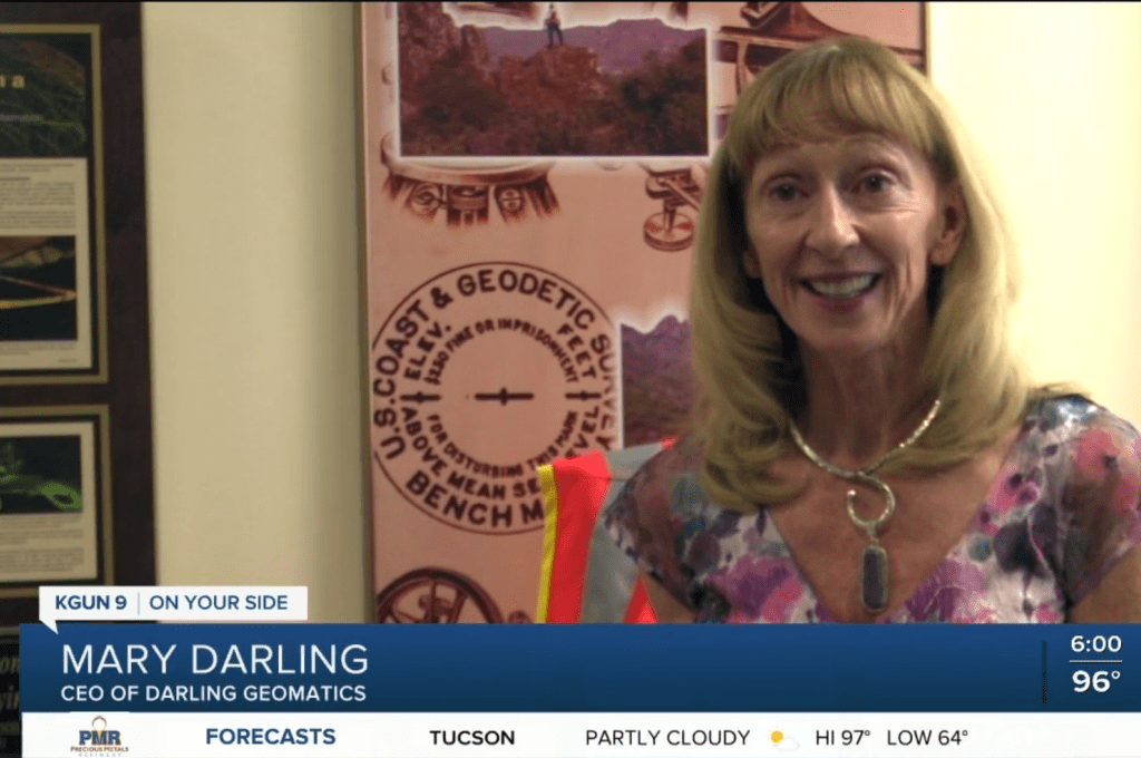
When it comes to operating drones safely, rely on the experts at Darling Geomatics! KGUN9 News in Southern Arizona interviews our CEO Mary Darling about drone safety. Pilots conduct a preflight check and so should engineers, developers, planners, construction and facilities managers before contracting for drone surveying…
Read MoreDarling Geomatics Sponsors Southern Arizona Society of American Military Engineers Annual Scholarship Fundraiser

Darling Geomatics is a sponsor of the Southern Arizona SAME Annual Scholarship Fundraiser golf tournament on May 14, 2021.
Read MoreMary Darling to Present at Arizona’s SheTech Explorer Day

Mary Darling to Present at Arizona’s SheTech Explorer Day Mary Darling, CEO of Darling Geomatics, will be presenting a demonstration of high tech digital data collection with drones and LiDAR to high school age girls that are interested in STEM curricula at SheTech Explorer Day Arizona on April 22, 2021. As a woman-owned business in…
Read More