Archive for June 2026
Accelerate Projects with Drone Surveying for Digital Twins
Accelerate Projects with Drone Surveying for Digital Twins In the rapidly evolving landscape of construction, infrastructure, and industrial development, the demand for unparalleled speed and precision has never been more critical. Project stakeholders are increasingly recognizing that traditional methods struggle to keep pace with the complexity and scale of modern endeavors. The ability to accurately…
Read MoreAerial Land Survey Drone: Beyond Traditional Methods
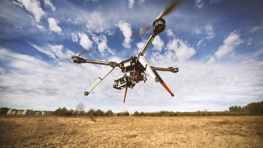
Aerial Land Survey Drone: Beyond Traditional Methods The landscape of land surveying has undergone a dramatic transformation, moving far beyond the limitations of ground-based methodologies. Today, aerial platforms equipped with advanced sensors are not just supplementary tools but are increasingly becoming the primary means of data acquisition. This shift is driven by a demand for…
Read MoreArizona Land Survey: Drone Excellence Unveiled
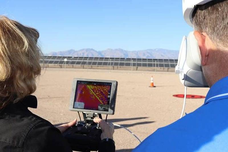
Arizona Land Survey: Drone Excellence Unveiled Arizona’s dynamic landscape is experiencing a surge in development, transforming skylines and expanding infrastructure. As projects grow in complexity and scale, the need for precise, efficient, and comprehensive land measurement becomes paramount. Traditional methods, while foundational, are increasingly challenged by the demands of modern engineering and construction. Embracing advanced…
Read More3D Scanning & Aerial Surveys: Next-Gen Data
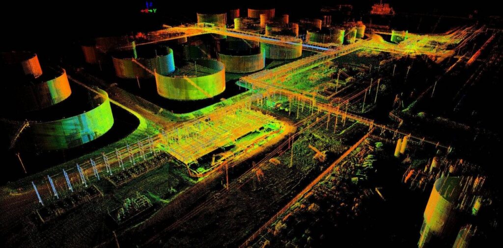
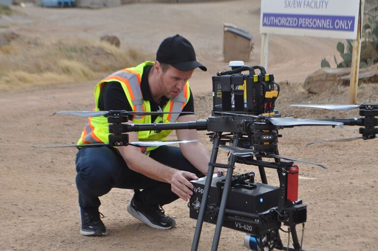
3D Scanning & Aerial Surveys: Next-Gen Data The landscape of project management and data acquisition is undergoing a profound transformation. Gone are the days of relying solely on manual measurements and two-dimensional drawings. Today, advanced technologies like 3D scanning and aerial surveys are not just supplementary tools but essential components for achieving unparalleled accuracy and…
Read More